Top Qs
Timeline
Chat
Perspective
Naval Ocean Surveillance System
Series of signals-intelligence satellites of the U.S. Navy From Wikipedia, the free encyclopedia
Remove ads
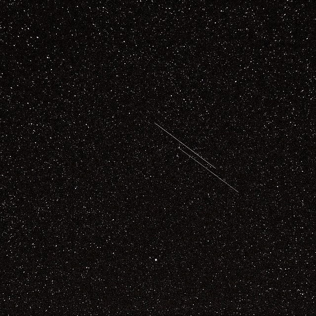
The Naval Ocean Surveillance System (NOSS) is a series of signals-intelligence satellites that have conducted electronic signals intelligence for the U.S. Navy since the early 1970s.[1] The first series of satellites were codenamed "White Cloud" or "PARCAE", while second- and third-generation satellites have used the codenames "Ranger" and "Intruder".

The system is operated by the United States Navy, and its main purpose was tactical geolocation of Soviet Navy assets during the Cold War. NOSS involves satellite clusters operating in low Earth orbit to detect radar and other electronic transmissions from ships at sea and locate them using the time difference of arrival technique.[2]
Remove ads
Satellites
Summarize
Perspective
First generation NOSS-1 (1976–1987)
The first generation of NOSS satellites was developed by the Naval Research Laboratory (NRL) based on the previous generations of electronic listening satellites: Grab (1960–1962) and Poppy (1962–1971). Eight clusters of 3 satellites were launched between 1976 and 1987.[3]
Each launch carried out by an Atlas F, E or H) with a dispenser placed three sub-satellites into orbit. The dispenser is responsible, thanks to its solid propellant engine, for placing the three sub-satellites into their operational orbit of 1,050 × 1,150 km with an inclination of 63°. To be able to track ships, the three satellites maintain a triangular formation with a distance between 30 and 240 km .
Each satellite has on one of its faces a series of antennas intended to collect the signals emitted by ships which are kept constantly turned towards the Earth. The satellite's orientation is maintained by gravity gradient pointed towards the Earth thanks to a boom 10 to 15 meters long.
Second generation NOSS-2 (1990–1996)
The second generation of NOSS satellites, first launched in 1990, adopted the same configuration as the previous generation. The satellites were launched in clusters of three with a Titan Launch Dispenser (TLD) responsible for positioning them in their operational orbit (1,100 × 1,100 km with an inclination of 63.4°) and adopted a triangular configuration.
Four NOSS-2 cluster launches took place between 1990 and 1996 (one failure in 1993).[4][5] The satellites were much heavier and had to be launched by a Titan IV rocket.
The dispenser played a secondary role: after ejecting the NOSS satellites, it placed itself in an elliptical orbit (1,100 × 9,000 km) where a dedicated telecommunications module (Satellite Launch Dispenser Communications System or SLDCOM) was used for tactical military telecommunications.
Third generation NOSS-3 (2001–2017)


The third generation was deployed after 2001. Unlike previous generations, the satellites are launched and operate in pairs and don't require a dispenser. The combined mass of a satellites pair is 6,500 kg. The orbit is identical to previous generations: 1,100 × 1,100 km with an inclination of 64°.
Eight pairs of satellites were launched between 2001 and 2017.[6] The launchers used were Atlas II, Atlas III and Atlas V.
Fourth generation NOSS-4 (2022–)
Remove ads
Cost
The costs of the NOSS satellites (excluding costs for the launch vehicle), which were destroyed in a Titan IV launch failure in 1993, were US$800 million (inflation adjusted US$ 1.7 billion in 2024).[8]
See also
References
External links
Wikiwand - on
Seamless Wikipedia browsing. On steroids.
Remove ads