Top Qs
Timeline
Chat
Perspective
Sơn La
Provincial city in Vietnam From Wikipedia, the free encyclopedia
Remove ads
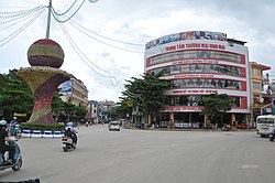
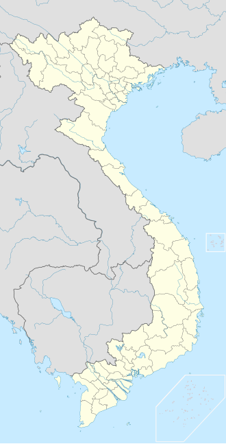
Sơn La (ⓘ; Tai Dam: ꪹꪎꪷꪙꪨꪱ[3]) is a city in the north-west region of Vietnam. It is the capital of Sơn La Province. It is bordered by Thuận Châu District, Mường La District, and Mai Sơn District.
You can help expand this article with text translated from the corresponding article in Vietnamese. (October 2023) Click [show] for important translation instructions.
|
Remove ads
History
In the era of the Sip Hoc Chau Tai, Sơn La was a fort of the Black Tai.[4][5][6]
Demographics
As of 2019 the city had a population of 106,052, covering an area of 323.5 km2.
Administrative divisions
Sơn La City is divided into 12 commune-level sub-divisions, including 7 wards (Chiềng An, Chiềng Cơi, Chiềng Lề, Chiềng Sinh, Quyết Tâm, Quyết Thắng, Tô Hiệu) and 5 rural communes (Chiềng Cọ, Chiềng Đen, Chiềng Ngần, Chiềng Xôm, Hua La).
Climate
Summarize
Perspective
Like most of Northern Vietnam, Sơn La has a dry-winter humid subtropical climate (Köppen climate classification: Cwa), affected by the East Asian monsoons.
Remove ads
References
Wikiwand - on
Seamless Wikipedia browsing. On steroids.
Remove ads


