Top Qs
Timeline
Chat
Perspective
St. Bride's Radar Station
USA WW2 Radar Station From Wikipedia, the free encyclopedia
Remove ads
St. Bride's Radar Station was a United States Army General Surveillance Ground Radar Early Warning Station in the Dominion of Newfoundland.[1][2] It was built during World War II and responsible for monitoring air traffic from Naval Station Argentia to RCAF Torbay and into the Atlantic Ocean.[3] It was located in St. Bride's, 135 kilometres (84 mi) southwest of St. John's.[4] It was closed in 1945.
Remove ads
History
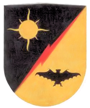
The site was established in 1942 as a United States Ground Radar Early Warning Station, funded by the United States Army,[5] which stationed the 685th Air Warning Squadron on the site under operational control of Newfoundland Base Command at Pepperrell Air Force Base.[6][7] Fifty-two members (three officers and 49 enlisted men) of the 685th were assigned to St Bride's. It operated an SCR-271 manned early-warning radar with information sent by radio to a plotting center at Pepperrell AFB to track aircraft. St Bride's was the third of a chain of four stations around the Newfoundland coast and was accordingly given the radio code name of "Trio".[8] The station was assigned to Royal Canadian Air Force on 1 November 1944, and was given designation "No 41 RU". The RCAF operated the station until 7 October 1945.
Remove ads
United States Army Air Forces units and assignments
Units:
- Inactivated November 1944
Assignments:
- Newfoundland Base Command, Winter 1943
References
Wikiwand - on
Seamless Wikipedia browsing. On steroids.
Remove ads


