Top Qs
Timeline
Chat
Perspective
St. Lorenzen
Comune in Trentino-Alto Adige/Südtirol, Italy From Wikipedia, the free encyclopedia
Remove ads
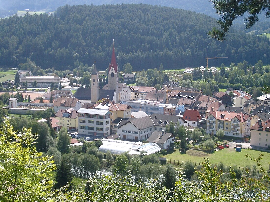
St. Lorenzen (German pronunciation: [saŋkt loˈrɛntsn̩]; Italian: San Lorenzo di Sebato [san loˈrɛntso di seˈbaːto]) is a comune (municipality) in South Tyrol in northern Italy, located about 50 kilometers (31 mi) northeast of Bolzano. As of 30 November 2010, it had a population of 3,752 and an area of 51.5 km2 (19.9 sq mi).[3]

St Lorenzen borders the following municipalities: Bruneck, Kiens, Pfalzen, Lüsen, Mareo, and Rodeneck.
Remove ads
Geography
As of 30 November 2010, it had a population of 3,752 and an area of 51.5 km2 (19.9 sq mi).[3]
The municipality of St Lorenzen contains the frazioni (subdivisions, mainly villages and hamlets) Ellen (Elle), Fassing (Fassine), Runggen (Ronchi), Montal (Mantana), Pflaurenz (Floronzo), Saalen (Sares), Sonnenburg (Castelbadia), Stefansdorf (Sante Stefano), St Martin (San Martino), Moos (Palù), Lothen, and Onach.
St Lorenzen borders the following municipalities: Bruneck, Kiens, Pfalzen, Lüsen, Mareo, and Rodeneck.
Remove ads
History
Coat of arms
The emblem represents Saint Laurence, with a vert palm in his right hand and a grill on the left, on argent. The emblem is used by the 17th century, but appears in the seal since 1271.[4]
Society
Linguistic distribution
According to the 2024 census, 93.84% of the population speak German, 3.95% Italian and 2.22% Ladin as first language.[5]
Demographic evolution

Culture
Notable people
References
External links
Wikiwand - on
Seamless Wikipedia browsing. On steroids.
Remove ads


