Top Qs
Timeline
Chat
Perspective
Alabama State Route 28
State highway in Alabama, United States From Wikipedia, the free encyclopedia
Remove ads
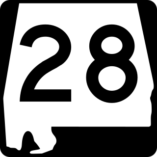
State Route 28 (SR 28) is a 97.287-mile-long (156.568 km) state highway in the western part of the U.S. state of Alabama. The highway’s western terminus is at an intersection with SR 17 at Emelle in northwestern Sumter County, and its eastern terminus is at an intersection with SR 21 near Darlington in eastern Wilcox County.
Remove ads
Route description
This section has multiple issues. Please help improve it or discuss these issues on the talk page. (Learn how and when to remove these messages)
|
From its beginning in Sumter County, SR 28 travels in a general southeastern trajectory through Livingston, the home of the University of West Alabama. After leaving Livingston, the highway travels through the Black Belt region of Alabama, one of the state’s poorest regions. The only towns whose population exceeds 2,000 that SR 28 travels through are Livingston, Linden, and Camden. East of Camden, the highway travels in a more eastern trajectory until its terminus approximately 13 miles (21 km) east of the town.
In June 2004, a segment of SR 28 near Coatopa was designated the Betty and Asa Green Highway. Asa Green served as president of Livingston State College (now the University of West Alabama) from 1973 to 1993.[2]
Remove ads
Major intersections
Remove ads
Truck route
Camden truck route
Major intersections
The entire route is in Wilcox County.
See also
References
Wikiwand - on
Seamless Wikipedia browsing. On steroids.
Remove ads


