Top Qs
Timeline
Chat
Perspective
Tuy Hòa
Ward of Đắk Lắk in Vietnam From Wikipedia, the free encyclopedia
Remove ads
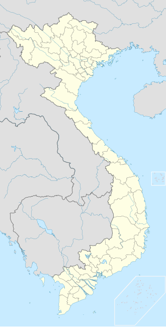
Tuy Hòa (ⓘ) is a ward of Đắk Lắk province in Central Vietnam. The ward has a total area of 106.82 square kilometres or 41 square miles and a population of 155,921 (in 2019). The ward is located approximately midway between Nha Trang and Qui Nhơn. The ward is formulated mainly from alluvial of the downstream of Đà Rằng River. There are two mountains in the center of the ward: Chóp Chài Mountain and Nhạn Mountain. There is a Champa Temple on the top of Nhạn Mountain.
This article has multiple issues. Please help improve it or discuss these issues on the talk page. (Learn how and when to remove these messages)
|
Prior to Vietnam's 2025 administrative reforms, Tuy Hoà was the capital city of the former Phú Yên Province, which was merged into the Đắk Lắk province, a direct-controlled municipality of Vietnam.
Remove ads
Climate
Summarize
Perspective
Tuy Hòa has a tropical savanna climate (Köppen: As), very close to a tropical monsoon climate (Am).[1][2]
Remove ads
Infrastructure
Transportation
By air
The ward is served by Đông Tác Airport which lies south of Tuy Hòa.
By land
Tuy Hòa Railway Station is a stop on the North-South Railway. National Route 1 runs through the city, providing road connections to Hanoi in the north and Ho Chi Minh City in the south.
Gallery
- Đà Rằng Bridge, Tuy Hòa, Phú Yên
- Street in Tuy Hòa viewed from Nghinh Phong tower
- Nhạn Tower
- Tuy Hòa city view from Champa Temple on Nhan mountain
References
Wikiwand - on
Seamless Wikipedia browsing. On steroids.
Remove ads


