Map Graph
No coordinates found

Geography of Afghanistan

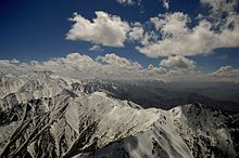
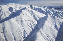
Afghanistan is a landlocked mountainous country located on the Iranian Plateau, at the crossroads of Central Asia and South Asia. The country is the 40th largest in the world in size. Kabul is the capital and largest city of Afghanistan, located in the Kabul Province. With a location at the intersection of major trade routes, Afghanistan has attracted a succession of invaders since the sixth century BC.

Read article
File:Afghan_topo_en.jpgFile:Black_Hawk_flying_over_a_valley_in_Bamyan.jpgFile:Mountains_in_Afghanistan.JPGFile:Landscape_in_Paktia_Province.jpgFile:Flightline_at_Kabul_International_Airport.jpegFile:Koppen-Geiger_Map_v2_AFG_1991–2020.svgFile:Wakhan,_Badakhshan.jpgFile:Aerial_photograph_of_Kandahar_Province_in_2011.jpgFile:Scenic_view_in_western_Afghanistan-2011.jpgFile:Hillside_view_in_Khawajah_Bahawuddin,_Takhar_Province,_Afghanistan.jpgFile:River_in_Badakhshan_province_of_Afghanistan.jpg
Top Questions
AI generated

List the top facts about Geography of Afghanistan

Summarize this article

What is the single most intriguing fact about Geography of Afghanistan?

Are there any controversies surrounding Geography of Afghanistan?

More questions