No coordinates found
Afghanistan Ring Road
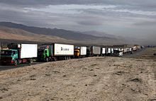
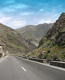
Road in AfghanistanNational Highway 01 or NH01, formally called the Ring Road, is a 2,200-kilometre (1,400 mi) two-lane road network circulating inside Afghanistan, connecting the following major cities (clockwise): Kabul, Maidan Shar, Ghazni, Kandahar, Delaram, Herat, Maymana, Sheberghan, Mazar-i-Sharif, Puli Khumri and back to Kabul. It has extensions that connect Jalalabad, Bamyan, Khost, Lashkargah, Zaranj, Farah, Islam Qala, Torghundi, and Kunduz. It is part of AH1, the longest route of the Asian Highway Network. National Highway 01 consists of four major sections, NH0101 to NH0104, linking the major economic centers.
Read article
Top Questions
AI generatedMore questions


