Ararat, Armenia
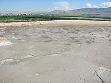
Town in Ararat Municipality, ArmeniaArarat is a town in the Ararat Municipality of the Ararat Province of Armenia, located on the Yerevan-Nakhchivan highway, 42 km (26 mi) southeast of the capital Yerevan and 19 km (12 mi) south of the provincial centre Artashat. In the 2011 census, the population of the town was 20,235. As per the 2016 official estimate, the population is around 20,300. In the 2022 census, the population of the town was 16,592.
Read article
Top Questions
AI generatedMore questions
Nearby Places

Avshar, Ararat
Place in Ararat, Armenia

Aygavan
Place in Ararat, Armenia

Ararat (village), Armenia
Place in Ararat, Armenia
Noyakert
Place in Ararat, Armenia

Yeghegnavan
Place in Ararat, Armenia
Avshar Wine Factory
Armenian alcohol producer

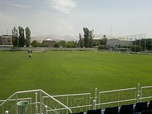
Ayg Stadium
Football stadium in Ararat, Armenia

Vazgen Sargsyan House-Museum
House-museum in Ararat, Ararat Province Armenia


