Map Graph
No coordinates found

Autoroutes of France

Highway system of France

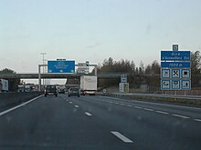
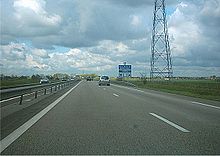
The autoroute system in France consists largely of toll roads. It is a network of 11,882 km (7,383 mi) of motorways as of 2014. On road signs, autoroute destinations are shown in blue, while destinations reached through a combination of autoroutes are shown with an added autoroute logo. Toll autoroutes are signalled with the word péage.

Read article
File:France_autoroutes_map-fr.svgFile:French_A1.jpgFile:French_Autoroute.jpgFile:Autoroute_F.svgFile:Dynamic_Information_on_French_Autoroute.jpgFile:Aire_de_pique-nique.pngFile:Autoroute_A2_-_Barrière_de_péage_de_Hordain-5699.jpgFile:Péage.pngFile:Autoroute_A10.jpgFile:A13_Giberville.jpgFile:107.7coverage.png
Top Questions
AI generated

List the top facts about Autoroutes of France

Summarize this article

What is the single most intriguing fact about Autoroutes of France?

Are there any controversies surrounding Autoroutes of France?

More questions