Boa Vista, Cape Verde
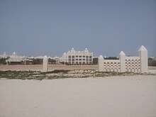
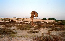
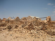
Cape Verde islandBoa Vista, sometimes incorrectly spelled Boavista, is a desert-like island that belongs to the Cape Verde Islands. At 631.1 km2 (243.7 sq mi), it is the third largest island of the Cape Verde archipelago.
Read article
Top Questions
AI generatedMore questions
Nearby Places

Monte Estância
Mountain in Boa Vista, Cape Verde

Santa Isabel (Boa Vista)
Civil parish in Boa Vista, Cape Verde
São João Baptista (Boa Vista)
Civil parish in Boa Vista, Cape Verde

Cabeça dos Tarrafes
Settlement in Boa Vista, Cape Verde

Deserto de Viana
Sand desert on Boa Vista, Cape Verde

João Galego
Settlement in Boa Vista, Cape Verde

Ribeira do Rabil
River in Cape Verde
Monte Caçador and Pico Forcado Protected Countryside


