No coordinates found
Newfoundland and Labrador–Quebec border
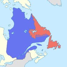
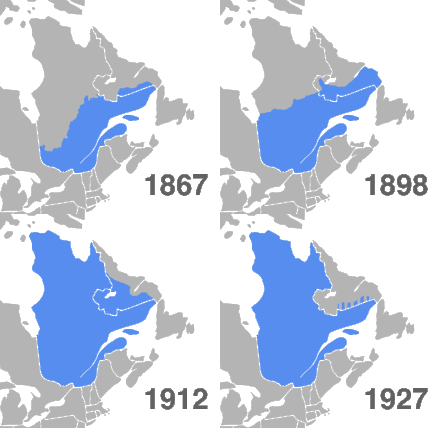
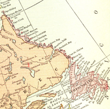
Border between two Canadian provincesThe border between the province of Newfoundland and Labrador and the province of Quebec is the longest interprovincial border in Canada. It stretches for more than 3,500 kilometres (2,200 mi) on land, and, according to both provincial governments, also contains a maritime part. Starting from the north, the border follows the Laurentian Divide on the Labrador Peninsula for the majority of the border's length, then follows the divide between the Côte-Nord-Gaspé and Newfoundland-Labrador drainage basins as far as Brûlé Lake, after which it goes along the Romaine River downstream to the 52nd parallel, which it follows east to its southeastern terminus at Blanc-Sablon.
Read article
Top Questions
AI generatedMore questions


