Chaliyar
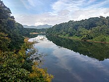
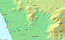
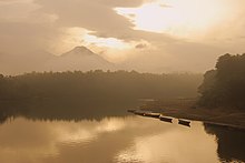
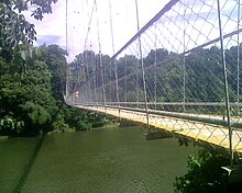
River in Kerala, IndiaChaliyar River is the fourth longest river in Kerala at 169 km in length. The Chaliyar is also known as Chulika River, Nilambur River or Beypore River as it is near the sea. Pothukal, Chungathara, Nilambur, Mampad, Edavanna, Kavanoor, Perakamanna, Areekode, Kizhuparamba, Elamaram, Cheekkode, Vazhakkad, Vazhayur, Cheruvadi, Edavannappara, Mavoor, Peruvayal, Perumanna, Feroke and Beypore are some of the towns/villages situated along the banks of the Chaliyar. It mainly flows through Malappuram district. Its tributaries flow through both the districts of Malappuram and Kozhikode. The bank of river Chaliyar in the Nilambur region is also known for its natural Gold fields. Explorations done at the valley of the river Chaliyar in Nilambur have shown reserves of the order of 2.5 million cubic meters of placers with 0.1 gram per cubic meter of gold. It originates at the Ilambaleri hills of Nilgiri Mountains in Nilgiris district, which is also near Wayanad-Malappuram district border. It flows mainly through the erstwhile region of Eranad, and finally empties into the Arabian Sea at Beypore port, opposite to Chaliyam harbour.


