Map Graph
No coordinates found

Geography of Niger

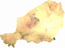
Niger is a landlocked nation in West Africa located along the border between the Sahara and Sub-Saharan regions. Its geographic coordinates are longitude 16°N and latitude 8°E.

Read article
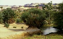
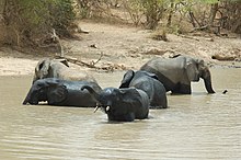
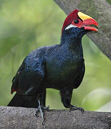
File:Niger_sm03.pngFile:LocationNiger.svgFile:Niger_Departments.pngFile:Niger_arrondissements.pngFile:Niger_communes.pngFile:NigerOMC.pngFile:1997_277-16A_Agadez_hotel.jpgFile:Niamey_night.jpgFile:SNTVbus-Ouagadougou-Niamey.jpgFile:Blvd_Mali_Bero_from_grand_mosquee_niamey.jpgFile:Niger_sat.pngFile:Koppen-Geiger_Map_v2_NER_1991–2020.svgFile:Sahel_Map-Africa_rough.pngFile:Niger_Topography.pngFile:WAP-Komplex_englisch.svgFile:Lake_Chad_from_Apollo_7.jpgFile:Niger_River_Center_Island.jpgFile:Oasis-Bilma.jpgFile:Timia_Oasis.JPGFile:Elephants_bath_park_w_Niger_2006.jpgFile:Girafeskoure.jpgFile:Musophaga_violacea-20080321.jpg
Top Questions
AI generated

List the top facts about Geography of Niger

Summarize this article

What is the single most intriguing fact about Geography of Niger?

Are there any controversies surrounding Geography of Niger?

More questions