Jezreel Valley
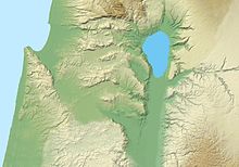
Valley in IsraelThe Jezreel Valley, or Marj ibn Amir is a large fertile plain and inland valley in the Northern District of Israel. It is bordered to the north by the highlands of the Lower Galilee, to the south by the highlands of Samaria, to the west and northwest by the Mount Carmel range, and to the east by the Jordan Valley, with Mount Gilboa marking its southern extent. The largest settlement in the valley is the city of Afula, which lies near its center.
Read article
Top Questions
AI generatedMore questions


