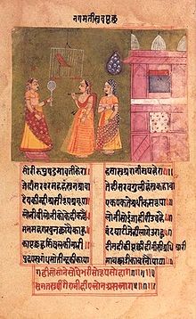
Gauriganj, India
Town in Uttar Pradesh, IndiaGauriganj is a city, municipal corporation, tehsil and administrative headquarters of Amethi district in Ayodhya division, Uttar Pradesh, India. It is situated about 126 km from the state capital Lucknow. Before July 2010, it was part of Sultanpur district. After that Gauriganj, Amethi, Jais, Jagdispur and Salon formed a new district Chhatrapati Sahuji Maharaj Nagar, later named Gauriganj and now Amethi. Gauriganj is connected with State Highway 34 and National Highway 128.
Read article
Top Questions
AI generatedMore questions
Nearby Places

Gauriganj Assembly constituency
Constituency of the Uttar Pradesh legislative assembly in India
Gauriganj railway station
Railway station in Uttar Pradesh, India

Mata Mawai Dham
Hindu temple in Uttar Pradesh, India

Bhawanshahpur
Village in Uttar Pradesh, India

Lugri
Village in Uttar Pradesh, India

Pachehri
Village in Uttar Pradesh, India

Raghipur
Village in Uttar Pradesh, India

Barna Tikar
Village in Uttar Pradesh, India


