Imbros
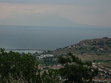
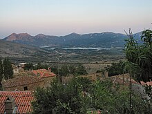
Island in TurkeyImbros, officially Gökçeada since 29 July 1970, is the largest island of Turkey, located in Çanakkale Province. It is located in the north-northeastern Aegean Sea, at the entrance of Saros Bay, and has the westernmost point of Turkey. Imbros has an area of 286.8 km2 (110.7 sq mi), and has some wooded areas.
Read article
Top Questions
AI generatedMore questions
Nearby Places

Battle of Imbros (1717)
Battle during the Ottoman–Venetian War of 1714–1718

Gökçeada District
District in Çanakkale, Turkey

İnce Burun, Gökçeada
Island in Turkey

Gökçeada Dam
Dam in Turkey

Zeytinliköy, Gökçeada
Village in Çanakkale, Turkey

Tepeköy, Gökçeada
Village in Çanakkale, Turkey

Dereköy, Gökçeada
Village in Turkey

Gökçeada (town)
Town in Çanakkale Province, Turkey


