Map Graph

Krishna River

River in southern India

The Krishna River in the Deccan plateau is the third-longest in India, after the Ganga and Godavari. It is also the fourth-largest in terms of water inflows and river basin area in India, after the Ganga, Indus and Godavari. The river, also called Krishnaveni, is 1,400 kilometres (870 mi) long and its length in Maharashtra is 282 kilometres. It is a major source of irrigation in the Indian states of Maharashtra, Karnataka, Telangana and Andhra Pradesh.

Read article
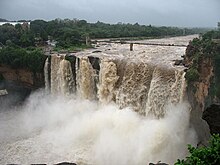
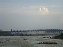
File:Back_Water_View.jpgFile:Krishna.pngFile:Kudalasangama_7.jpgFile:Krishna_River_basin_map.svgFile:Gokak_Falls.jpgFile:Pre_Historic_Mid_Krishna-Tungabhadra_Valley_sites.jpgFile:Panorama_of_Prakasam_Barrage_and_Railway_bridges.jpgFile:Navjeevan_Exp_KrishnaRiverBridge.jpgFile:NSRS_Srisailam_Dam.jpgFile:Nagarjuna_Sagar_Dam_Gates_view.jpgFile:Alamatti_dam.JPGFile:Krishna_River_near_Vijayawada_Andhra_Pradesh_India.jpgFile:Krishna_River.jpgFile:Full_doownstream_view_of_the_Bhima_or_Ujjani_Dam.jpgFile:TungabhadraRiver_Dam.jpg
Top Questions
AI generated

List the top facts about Krishna River

Summarize this article

What is the single most intriguing fact about Krishna River?

Are there any controversies surrounding Krishna River?

More questions