North Holland
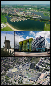
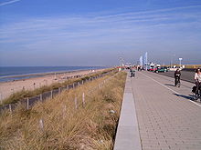
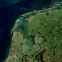
Province of the NetherlandsNorth Holland is a province of the Netherlands in the northwestern part of the country. It is located on the North Sea, north of South Holland and Utrecht, and west of Friesland and Flevoland. As of January 2023, it had a population of about 2,952,000 and a total area of 4,092 km2 (1,580 sq mi), of which 1,429 km2 (552 sq mi) is water.
Read article
Top Questions
AI generatedMore questions
Nearby Places

Heerhugowaard
City in North Holland, Netherlands

Langedijk
Former municipality in North Holland, Netherlands

Broek op Langedijk
Village in North Holland, Netherlands
Butterhuizen

Zuid-Scharwoude
Village in North Holland, Netherlands

Stad van de Zon

Heerhugowaard railway station
Railway station in the Netherlands

Dijk en Waard
Municipality in North Holland, Netherlands


