Northwest Angle
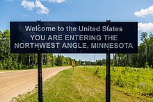
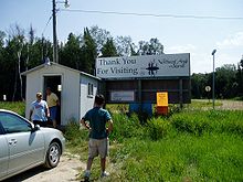
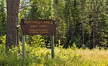
Part of Minnesota, separated from the rest of the state by the Lake of the WoodsThe Northwest Angle, known simply as the Angle by locals, and coextensive with Angle Township, is a pene-exclave of northern Lake of the Woods County, Minnesota. Excluding surveying errors, it is the only place in the contiguous United States north of the 49th parallel, which forms the border between the U.S. and Canada from the Northwest Angle westward to the Strait of Georgia. The land area of the Angle is separated from the rest of Minnesota by Lake of the Woods, but shares a land border with Canada. It is one of six non-island locations in the 48 contiguous states that are practical exclaves of the United States; three others are nearby in the vicinity of Elm Point, Minnesota. The communities of Oak Island, Angle Inlet and Penasse are in the Northwest Angle, as is the Fort Saint Charles archeological site.


