Rabaul
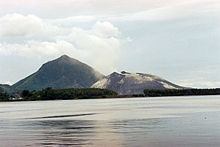
Township in East New Britain, Papua New GuineaRabaul is a township in the East New Britain province of Papua New Guinea, on the island of New Britain. It lies about 600 km (370 mi) to the east of the island of New Guinea. Rabaul was the provincial capital and most important settlement in the province until it was destroyed in 1994 by falling ash from a volcanic eruption in its harbor. During the eruption, ash was sent thousands of metres into the air, and the subsequent rain of ash caused 80% of the buildings in Rabaul to collapse. After the eruption the capital was moved to Kokopo, about 20 kilometres (12 mi) away. Rabaul is continually threatened by volcanic activity, because it is on the edge of the Rabaul caldera, a flooded caldera of a large pyroclastic shield volcano.
Read article
Top Questions
AI generatedMore questions
Nearby Places

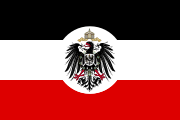
German New Guinea
1884–1914 German colony in northeast New Guinea

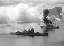
Bombing of Rabaul (November 1943)
Air attack on cruiser force in Rabaul

Battle of Rabaul (1942)
WWII battle in the Pacific Theater

Japanese destroyer Suzunami (1943)
Yūgumo-class destroyer

Simpson Harbour
Harbour in Rabaul, Papua New Guinea

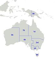
8th Military District (Australia)
Rabaul Urban LLG
Local-level government in Papua New Guinea
Rabaul Airfield Complex


