St Albans
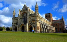
City in southern Hertfordshire, EnglandSt Albans is a cathedral city in Hertfordshire, England, east of Hemel Hempstead and west of Hatfield, 20 miles (32 km) north-west of London, 8 miles (13 km) south-west of Welwyn Garden City and 11 miles (18 km) south-east of Luton. St Albans was the first major town on the old Roman road of Watling Street for travellers heading north and became the city of Verulamium. It is within the London commuter belt and the Greater London Built-up Area.
Read article
Top Questions
AI generatedMore questions
Nearby Places
Oaklands College
Further education school in Hertfordshire, United Kingdom

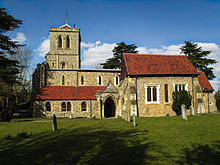
Church of St Peter, St Albans
Church in Hertfordshire, England

Alban Arena
Theatre and music venue in St Albans, England

Second Battle of St Albans
1461 battle in the English Wars of the Roses

Mix 92.6
Radio station in St Albans
St Peter, Hertfordshire
Former civil parish in Hertfordshire, England

The Cock, St Albans
Public house in Hertfordshire, England

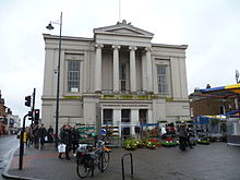
St Albans Market
Street market in St Albans, Hertfordshire


