Street, Somerset
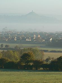
Village in Somerset, EnglandStreet is a large village and civil parish in Somerset, England, with a population of 12,709 in 2021. On a dry spot in the Somerset Levels, at the end of the Polden Hills, it is two miles southwest of Glastonbury. There is evidence of Roman occupation. Much of the history of the village is dominated by Glastonbury Abbey, and a 12th-century causeway from Glastonbury built to transport local Blue Lias stone to it.
Read article
Top Questions
AI generatedMore questions
Nearby Places

Clarks Village
Shopping mall in Somerset, England

Strode College
School in Street

Crispin School
Secondary academy in Street, Somerset, England

The Shoe Museum

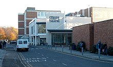
Strode Theatre

Street Mission Church
Church in Somerset, England

Street Methodist Church

United Reformed Church, Street
Church in Somerset, England


