Upper and Lower Table Rock
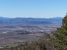
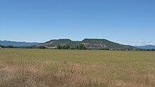
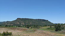
Two prominent volcanic plateaus located in Jackson County, Oregon, USUpper Table Rock and Lower Table Rock are two prominent volcanic plateaus located just north of the Rogue River in Jackson County, Oregon, U.S. Created by an andesitic lava flow approximately seven million years ago and shaped by erosion, they now stand about 800 feet (240 m) above the surrounding Rogue Valley. The Table Rocks are jointly owned; The Nature Conservancy is responsible for 3,591 acres (1,453 ha), while the Bureau of Land Management is responsible for 1,280 acres (520 ha).
Read article
Top Questions
AI generatedMore questions
Nearby Places

Rogue Valley
Valley in Southern Oregon, United States

TouVelle State Recreation Site
State park in Jackson County, Oregon, U.S.
Agate Desert

Bear Creek (Rogue River tributary)
River in Oregon, United States
Sams Valley, Oregon
Unincorporated community in the state of Oregon, United States

Little Butte Creek
River in Oregon, USA
Table Rock, Oregon
Unincorporated community in the state of Oregon, United States
Snider Creek
Stream in Oregon, U.S.


