Dosiero:Nicolaes_Visscher_Indiae_Orientalis.jpg
From Wikipedia, the free encyclopedia
Grandeco de ĉi antaŭvido: 720 × 600 rastrumeroj. Aliaj distingivoj: 288 × 240 rastrumeroj | 576 × 480 rastrumeroj | 922 × 768 rastrumeroj | 1 229 × 1 024 rastrumeroj | 2 493 × 2 077 rastrumeroj.
Bildo en pli alta difino ((2 493 × 2 077 rastrumeroj, grandeco de dosiero: 1,89 MB, MIME-tipo: image/jpeg))
| Jen dosiero de la Wikimedia-Komunejo. La priskribo en ties priskriba paĝo estas montrata suben.
|
Resumo
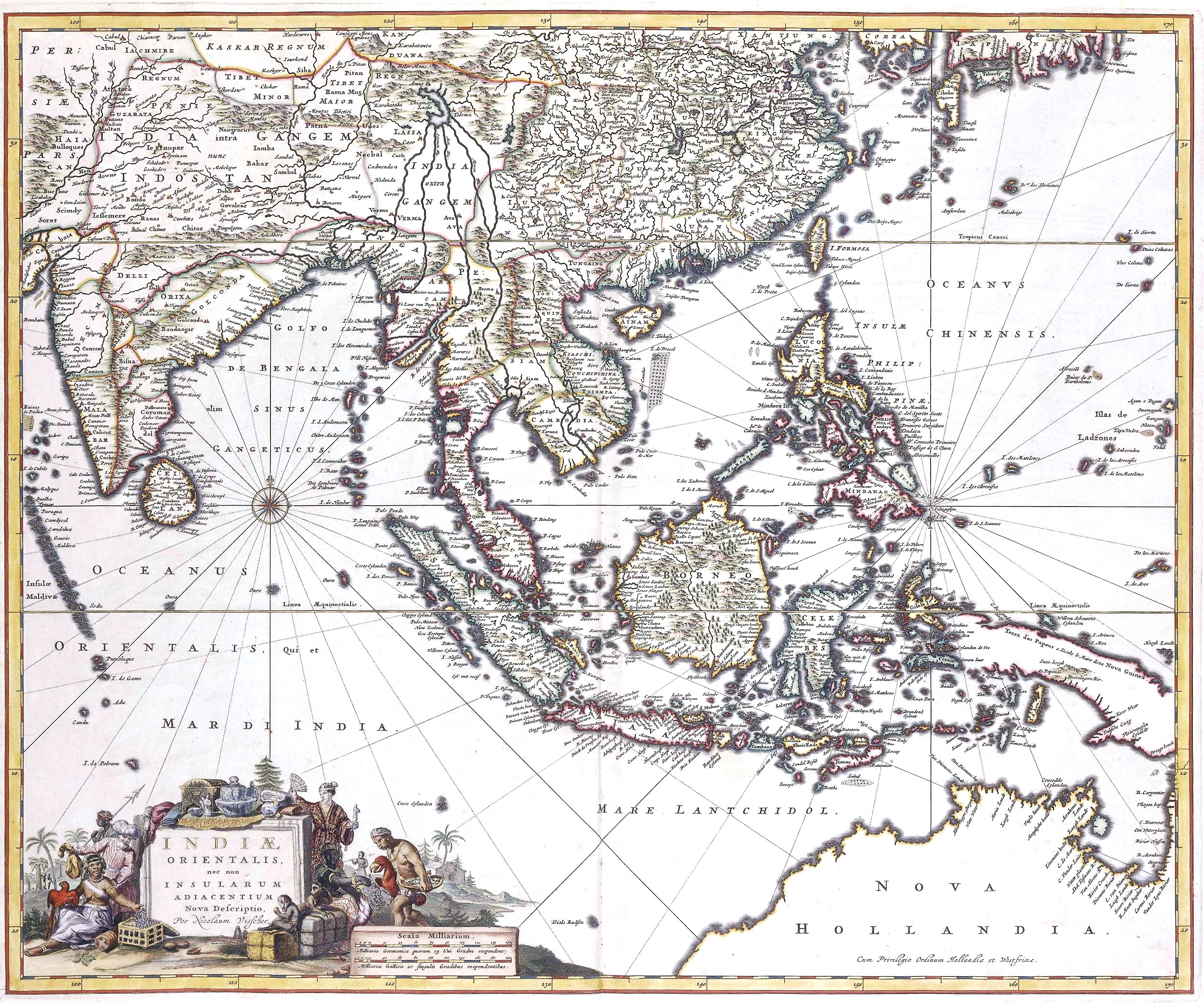
| Nicolaes Visscher II: New description of East India, and also the Adjacent Islands
( |
||||||||||||||||||||||||||
|---|---|---|---|---|---|---|---|---|---|---|---|---|---|---|---|---|---|---|---|---|---|---|---|---|---|---|
| Artisto/Kreinto |
artist QS:P170,Q15410601 |
|||||||||||||||||||||||||
| Titolo |
latino: Indiae orientalis, nec non insularum adiacentium nova descriptio New description of East India, and also the Adjacent Islands title QS:P1476,la:"Indiae orientalis, nec non insularum adiacentium nova descriptio"
label QS:Lla,"Indiae orientalis, nec non insularum adiacentium nova descriptio"
label QS:Len,"New description of East India, and also the Adjacent Islands" |
|||||||||||||||||||||||||
| Priskribo |
Indiae Orientalis, 17th century map by by Nicolaes Visscher II |
|||||||||||||||||||||||||
| Dato |
17-a jarcento date QS:P571,+1650-00-00T00:00:00Z/7 |
|||||||||||||||||||||||||
| Fonto/Fotisto | Het Geheugen van Nederland | |||||||||||||||||||||||||
Permesiloj:
| Public domainPublic domainfalsefalse |
|
Tiu ĉi verko estas publika havaĵo en tiuj landoj, kies kopirajtado validas por longo de vivo plus 100 jaroj aŭ malpli. | |
| Estis konkludite ke uzon de ĉi tiu dosiero limigas neniu konata aŭtorrajta leĝo, kio inkluzivas ĉiujn rilatajn kaj apudajn rajtojn. | |
https://creativecommons.org/publicdomain/mark/1.0/PDMCreative Commons Public Domain Mark 1.0falsefalse
Titoloj
Donu unulinian priskribon de la enhavo de ĉi tiu dosiero
Indiae Orientalis, 17th century map by Nicolaes Visscher II.
peninggalan sejarah Hindu
image/jpeg
Dosierhistorio
Alklaku iun daton kaj horon por vidi kiel la dosiero tiam aspektis.
| Dato/Horo | Bildeto | Grandecoj | Uzanto | Komento | |
|---|---|---|---|---|---|
| nun | 17:31, 11 apr. 2021 | | 2 493 × 2 077 (1,89 MB) | Gryffindor | {{Information |Description= |Source={{own}} |Date= |Author= Gryffindor |Permission= |other_versions= }} |
| 15:03, 8 sep. 2007 |  | 2 493 × 2 077 (1,93 MB) | Jan Arkesteijn | {{Information |Description=Indiae Orientalis, 17th century map by Nicolaes Visscher |Source= Nicolaes Visscher |Date=17th century |Author= Nicolaes Visscher |Permission=PD because of age |other_versions= }} Category:Nicolaes Visscher |
Dosiera uzado
La jena paĝo ligas al ĉi tiu dosiero:
Suma uzado de la dosiero
La jenaj aliaj vikioj utiligas ĉi tiun dosieron:
- Uzado en ban.wikipedia.org
- Uzado en en.wikipedia.org
- History of Indonesia
- Majapahit
- Indonesia–Malaysia confrontation
- Srivijaya
- Amboyna massacre
- Singhasari
- List of governors of the Dutch East Indies
- Sultanate of Serdang
- Aceh War
- Mataram Sultanate
- Bone State
- Effect of the 2004 Indian Ocean earthquake on Indonesia
- Javanese historical texts
- Permesta
- Shailendra dynasty
- Johor Sultanate
- Proclamation of Indonesian Independence
- Kediri Kingdom
- Samudera Pasai Sultanate
- Politionele acties
- Linggadjati Agreement
- Mataram Kingdom
- Lanfang Republic
- Renville Agreement
- New Order (Indonesia)
- Template:History of Indonesia
- 30 September Movement
- Darul Islam (Indonesia)
- Cultivation System
- Pagaruyung Kingdom
- Revolutionary Government of the Republic of Indonesia
- Kingdom of Pajang
- Peureulak Sultanate
- Guided Democracy in Indonesia
- Dutch Ethical Policy
- Asahan Sultanate
- Investigating Committee for Preparatory Work for Independence
- Sanjaya dynasty
- Gilchrist Document
- Supersemar
- Janggala
- Melayu Kingdom
- Roem–Van Roijen Agreement
- Wikipedia:WikiProject Indonesia/Templates
- Operation Kraai
- Banten Sultanate
- Emergency Government of the Republic of Indonesia
Vidi plian ĝeneralan uzadon de ĉi tiu dosiero.