File:Europe_topography_map_de.png
From Wikipedia, the free encyclopedia
Aurreikuspen honen neurria: 737 × 600 pixel. Bestelako bereizmenak: 295 × 240 pixel | 590 × 480 pixel | 944 × 768 pixel | 1.259 × 1.024 pixel | 1.475 × 1.200 pixel.
Bereizmen handikoa ((1.475 × 1.200 pixel, fitxategiaren tamaina: 729 KB, MIME mota: image/png))
Fitxategi hau Wikimedia Commonsekoa da. Hango deskribapen orriko informazioa behean duzu. |
Laburpena
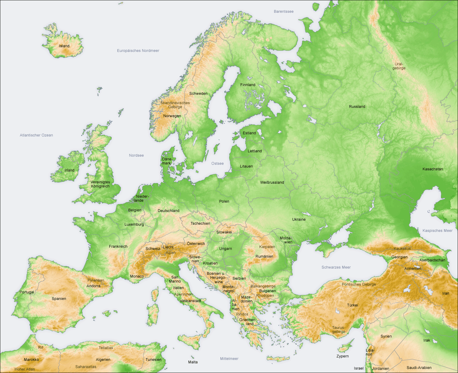
- Beschreibung: Topografie in Europa, Karte de
- Quelle: eigene Karte, basierend auf den Generic Mapping Tools archive copy at the Wayback Machine und ETOPO2 archive copy at the Wayback Machine
- Autor: San Jose, 2. April 2006
- Andere Version: Englisch, Französisch, ohne Text
Lizentzia
The map has been created with the Generic Mapping Tools: https://www.generic-mapping-tools.org/ using one or more of these public-domain datasets for the relief:
বাংলা ∙ English ∙ español ∙ français ∙ italiano ∙ 日本語 ∙ македонски ∙ sicilianu ∙ 中文(简体) ∙ 中文(繁體) ∙ +/− |

|
Baimena duzu dokumentu hau kopiatu, banatu edo/eta aldatzeko GNU Free Documentation License baldintzapean, Free Software Foundationek argitaratutako 1.2 edo ondorengo bertsioan; sekzio aldaezinik gabe, azaleko testurik gabe, eta atzeko azaleko testurik gabe. Lizentziaren kopia dago GNU Free Documentation License izenburudun atalean.http://www.gnu.org/copyleft/fdl.htmlGFDLGNU Free Documentation Licensetruetrue |
| Fitxategi hau Creative Commons Attribution-Share Alike 3.0 Unported lizentziapean dago. | ||
| ||
| This licensing tag was added to this file as part of the GFDL licensing update.http://creativecommons.org/licenses/by-sa/3.0/CC BY-SA 3.0Creative Commons Attribution-Share Alike 3.0truetrue |
Irudi-oineko testuak
Add a one-line explanation of what this file represents
Fitxategi honetan agertzen diren itemak
honako hau irudikatzen du
Fitxategiaren historia
Data/orduan klik egin fitxategiak orduan zuen itxura ikusteko.
| Data/Ordua | Iruditxoa | Neurriak | Erabiltzailea | Iruzkina | |
|---|---|---|---|---|---|
| oraingoa | 10:44, 12 ekaina 2008 | | 1.475 × 1.200 (729 KB) | San Jose | update |
| 15:25, 5 ekaina 2006 |  | 1.475 × 1.200 (783 KB) | San Jose | updated and corrected | |
| 14:34, 2 apirila 2006 |  | 1.475 × 1.200 (782 KB) | San Jose | Upload |
Irudira dakarten loturak
Ez dago fitxategi hau darabilen orririk.
Fitxategiaren erabilera orokorra
Hurrengo beste wikiek fitxategi hau darabilte:
- awa.wikipedia.org proiektuan duen erabilera
- bh.wikipedia.org proiektuan duen erabilera
- de.wikipedia.org proiektuan duen erabilera
- Geschichte Europas
- Polen
- Benutzer:San Jose
- Geographie Europas
- Benutzer:Elkawe/Artikelprojekt Wegbereiter der Europaeischen Union
- Benutzer Diskussion:Elkawe/Artikelprojekt Wegbereiter der Europaeischen Union
- Benutzer:Oliver S.Y./euro
- Wikipedia:Löschkandidaten/24. November 2007
- Benutzer:Elkawe/Der Fernfahrer
- Benutzer:Haigst-Mann/Geographie Europas
- mn.wikipedia.org proiektuan duen erabilera
- om.wikipedia.org proiektuan duen erabilera
- rm.wikipedia.org proiektuan duen erabilera
"https://eu.wikipedia.org/wiki/Fitxategi:Europe_topography_map_de.png"(e)tik eskuratuta