Auckland Harbour Bridge
De Wikipédia, l'encyclopédie libre
L'Auckland Harbour Bridge est un pont autoroutier à huit voies qui enjambe Waitemata Harbour à Auckland, en Nouvelle-Zélande.
| Auckland Harbour Bridge | |||

| |||
| Géographie | |||
|---|---|---|---|
| Pays | |||
| Commune | Auckland | ||
| Coordonnées géographiques | 36° 49′ 46″ S, 174° 44′ 47″ E | ||
| Fonction | |||
| Franchit | Waitemata Harbour | ||
| Caractéristiques techniques | |||
| Type | Pont à poutres cantilever | ||
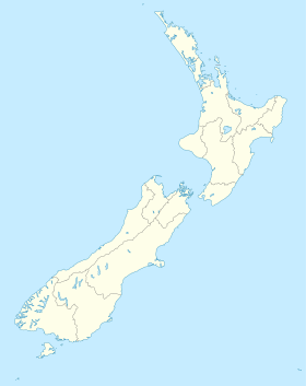
| Géolocalisation sur la carte : Auckland
Géolocalisation sur la carte : Nouvelle-Zélande
| |||
| modifier |
|||
Il rejoint Saint Marys Bay du côté de la ville d'Auckland et Northcote du côté de North Shore City.
Il fait partie de la New Zealand State Highway 1 et de l'Auckland Northern Motorway.
Le pont est exploité par la NZ Transport Agency (en).
Wikiwand in your browser!
Seamless Wikipedia browsing. On steroids.
Every time you click a link to Wikipedia, Wiktionary or Wikiquote in your browser's search results, it will show the modern Wikiwand interface.
Wikiwand extension is a five stars, simple, with minimum permission required to keep your browsing private, safe and transparent.


