Fichier:Midlothian_UK_relief_location_map.jpg
De Wikipedia, l'encyclopédie encyclopedia
Taille de cet aperçu : 651 × 599 pixels. Autres résolutions : 261 × 240 pixels | 521 × 480 pixels | 834 × 768 pixels | 1 112 × 1 024 pixels | 2 005 × 1 846 pixels.
Fichier d’origine (2 005 × 1 846 pixels, taille du fichier : 329 kio, type MIME : image/jpeg)
Ce fichier et sa description proviennent de Wikimedia Commons.
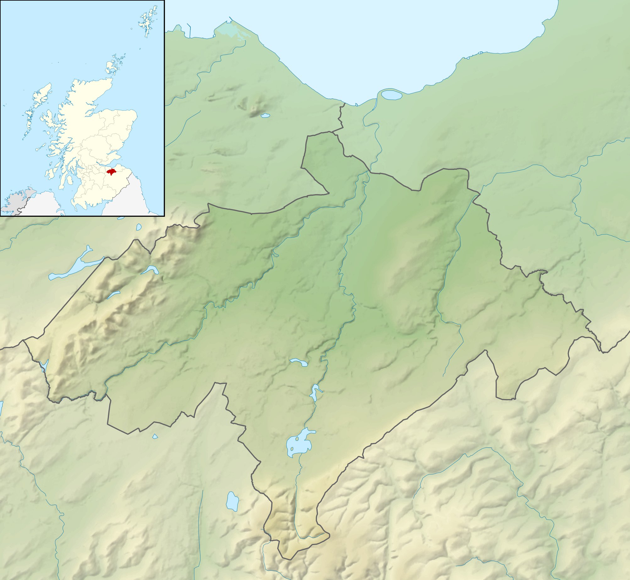
| DescriptionMidlothian UK relief location map.jpg |
Relief map of Midlothian, UK. Equirectangular map projection on WGS 84 datum, with N/S stretched 175% Geographic limits:
|
| Date | |
| Source |
|
| Auteur | Nilfanion, created using Ordnance Survey data |
| Autorisation (Réutilisation de ce fichier) |
Ce fichier est disponible selon les termes de la licence Creative Commons Attribution – Partage dans les Mêmes Conditions 3.0 (non transposée). Attribution: Contains Ordnance Survey data © Crown copyright and database right
|
| Autres versions | File:Midlothian UK blank map.svg - Blank map |
Légendes
Ajoutez en une ligne la description de ce que représente ce fichier
Éléments décrits dans ce fichier
dépeint
30 novembre 2010
Historique du fichier
Cliquer sur une date et heure pour voir le fichier tel qu'il était à ce moment-là.
| Date et heure | Vignette | Dimensions | Utilisateur | Commentaire | |
|---|---|---|---|---|---|
| actuel | 30 novembre 2011 à 14:23 | | 2 005 × 1 846 (329 kio) | Nilfanion | {{Information |Description=Relief map of Midlothian, UK. Equirectangular map projection on WGS 84 datum, with N/S stretched 175% Geographic limits: *West: 3.39W *East: 2.82W *North: 56.00N *South: 55.70N |Source=[[w:Ordnance Survey|Ordn |
Utilisation du fichier
Les 2 pages suivantes utilisent ce fichier :
Usage global du fichier
Les autres wikis suivants utilisent ce fichier :
- Utilisation sur ar.wikipedia.org
- Utilisation sur bg.wikipedia.org
- Utilisation sur ceb.wikipedia.org
- Utilisation sur de.wikipedia.org
- Roslin Castle
- North Esk Reservoir
- Gladhouse Reservoir
- Cock Rig
- Spittal Hill
- Green Law (Pentland Hills)
- Cap Law
- Braid Law
- West Kip
- Hare Hill
- East Kip
- South Black Hill
- Scald Law
- Carnethy Hill
- Turnhouse Hill
- Black Hill (Pentland Hills)
- Bell’s Hill
- Harbour Hill
- Woodhouselee Hill
- Castlelaw Hill
- Patie’s Hill
- Vorlage:Positionskarte Schottland Midlothian
- Loganlea Reservoir
- Glencorse Reservoir
- Hog Hill (Midlothian)
- The Kipps
- Edgelaw Reservoir
- Utilisation sur en.wikipedia.org
- Utilisation sur ja.wikipedia.org
- Utilisation sur kn.wikipedia.org
- Utilisation sur nl.wikipedia.org
- Utilisation sur pl.wikipedia.org
Voir davantage sur l’utilisation globale de ce fichier.
Ce document provient de « https://fr.wikipedia.org/wiki/Fichier:Midlothian_UK_relief_location_map.jpg ».