Fichier:Relief_Map_of_Southern_Federal_District-(Crimea_disputed).jpg
De Wikipedia, l'encyclopédie encyclopedia
Taille de cet aperçu : 781 × 599 pixels. Autres résolutions : 313 × 240 pixels | 626 × 480 pixels | 1 001 × 768 pixels | 1 200 × 921 pixels.
Fichier d’origine (1 200 × 921 pixels, taille du fichier : 550 kio, type MIME : image/jpeg)
Ce fichier et sa description proviennent de Wikimedia Commons.
Description
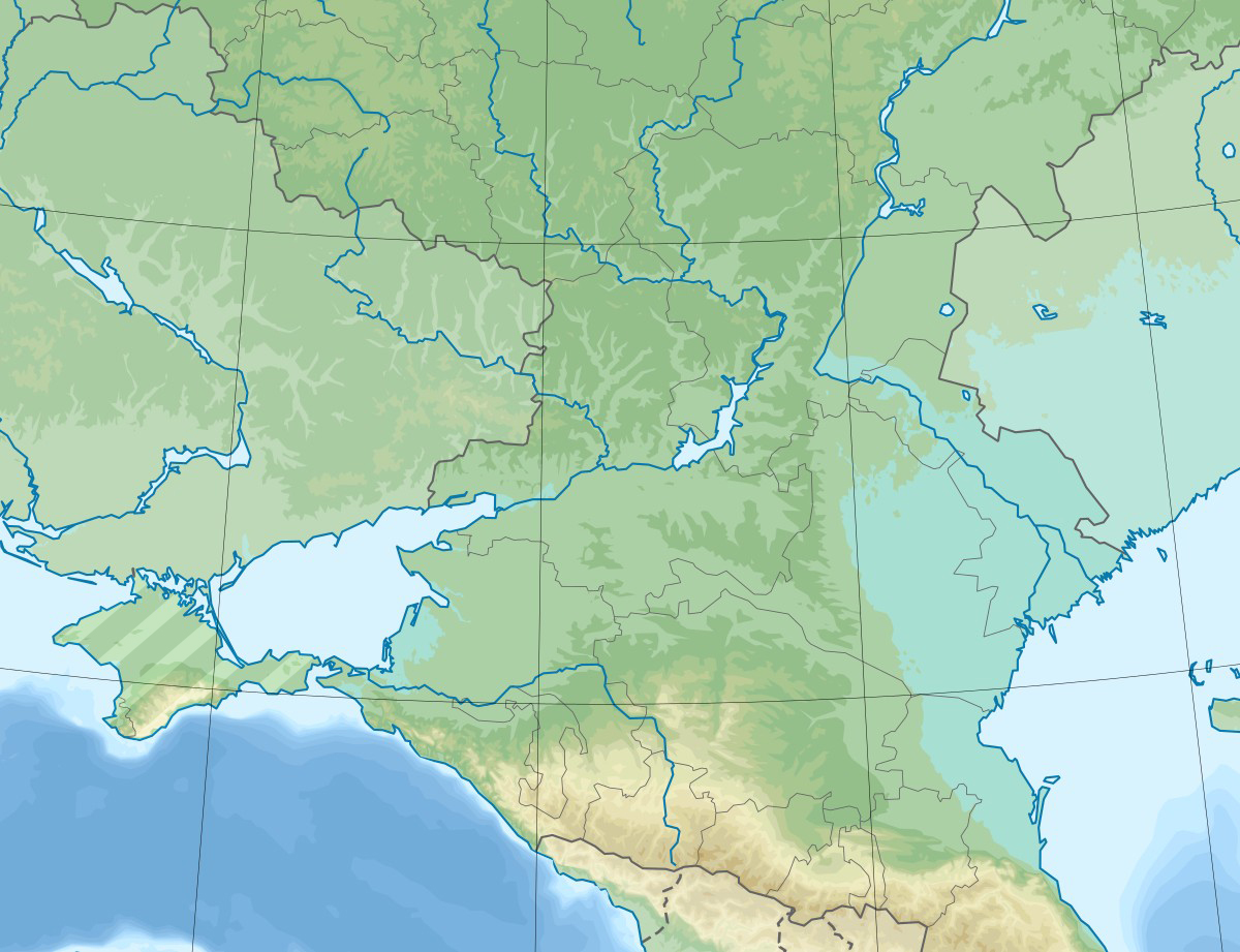
| DescriptionRelief Map of Southern Federal District-(Crimea disputed).jpg |
English: Physical map of the Southern Federal District in Russia. |
| Date | |
| Source |
Ce fichier est dérivé de : Relief Map of Southern Federal District.jpg: |
| Auteur |
|
| Cette image a été retouchée, ce qui signifie qu'elle a été modifiée par ordinateur et est différente de l'image d'origine. Liste des modifications : Hatched Crimea. L'image d'origine se trouve ici : Relief Map of Southern Federal District.jpg:
|
Conditions d’utilisation
Moi, en tant que détenteur des droits d’auteur sur cette œuvre, je la publie sous la licence suivante :
Ce fichier est disponible selon les termes de la licence Creative Commons Attribution – Partage dans les Mêmes Conditions 3.0 (non transposée).
- Vous êtes libre :
- de partager – de copier, distribuer et transmettre cette œuvre
- d’adapter – de modifier cette œuvre
- Sous les conditions suivantes :
- paternité – Vous devez donner les informations appropriées concernant l'auteur, fournir un lien vers la licence et indiquer si des modifications ont été faites. Vous pouvez faire cela par tout moyen raisonnable, mais en aucune façon suggérant que l’auteur vous soutient ou approuve l’utilisation que vous en faites.
- partage à l’identique – Si vous modifiez, transformez, ou vous basez sur cette œuvre, vous devez distribuer votre contribution sous la même licence ou une licence compatible avec celle de l’original.
Journal des téléversements d’origine
This image is a derivative work of the following images:
- File:Relief Map of Southern Federal District.jpg licensed with Cc-by-sa-3.0
- 2020-02-11T06:43:24Z Takhirgeran Umar 1200x921 (210599 Bytes) Reverted to version as of 14:57, 28 July 2016 (UTC)
- 2020-01-28T19:19:14Z Takhirgeran Umar 3000x2700 (2548324 Bytes) об
- 2016-07-28T14:57:11Z Seryo93 1200x921 (210599 Bytes) null upload to force ruwiki thumbnail update
- 2016-07-28T14:38:30Z Hellerick 1200x921 (210599 Bytes) Better visible Crimean border.
- 2016-07-28T14:04:29Z Hellerick 1200x921 (210719 Bytes) Crimea included.
- 2013-09-13T03:47:59Z Hellerick 1200x1080 (294328 Bytes) User created page with UploadWizard
Téléversé avec derivativeFX
Légendes
Ajoutez en une ligne la description de ce que représente ce fichier
Éléments décrits dans ce fichier
dépeint
26 juin 2020
image/jpeg
Historique du fichier
Cliquer sur une date et heure pour voir le fichier tel qu'il était à ce moment-là.
| Date et heure | Vignette | Dimensions | Utilisateur | Commentaire | |
|---|---|---|---|---|---|
| actuel | 26 mai 2020 à 16:53 | | 1 200 × 921 (550 kio) | Seryo93 | == {{int:filedesc}} == {{Information |Description={{en|1=Physical map of the Southern Federal District in Russia.}} |date=2020-06-26 |Source={{Derived from|Relief Map of Southern Federal District.jpg|display=50}} |Date=2020-05-26 14:53 (UTC) |Author=* File:Relief Map of Southern Federal District.jpg: Hellerick * derivative work: [[User:{{subst:REVISIONUSER}}|{{subst:REVISIONUSER}}]] |Permission= |other_versions= }} {{Re... |
Utilisation du fichier
Les 3 pages suivantes utilisent ce fichier :
Usage global du fichier
Les autres wikis suivants utilisent ce fichier :
- Utilisation sur az.wikipedia.org
- Utilisation sur et.wikipedia.org
- Utilisation sur inh.wikipedia.org
- Utilisation sur kk.wikipedia.org
- Utilisation sur os.wikipedia.org
- Utilisation sur ru.wikipedia.org
- Калачская возвышенность
- Северский Донец
- Кубань (река)
- Ростовский заповедник
- Ахтуба
- Кумо-Манычская впадина
- Волгоградское водохранилище
- Прикаспийская низменность
- Чир (река)
- Ергени
- Сарпинские озёра
- Цимлянское водохранилище
- Чёрные земли (заповедник)
- Каменская ТЭЦ
- Сал (река)
- Маныч-Гудило
- Волго-Ахтубинская пойма
- Волго-Каспийский канал
- Маныч
- Пролетарское водохранилище
- Восточный Маныч
- Ростовский канал
- Чограйское водохранилище
- Шаблон:ПозКарта Россия Южный ФО
- Кара-Сал
- Барманцак
- Кубано-Приазовская низменность
- Ханата
- Деед-Хулсун
- Сарпа (озеро, у посёлка Цаган-Нур)
- Состинские озёра
- Цаца (озеро)
- Батыр-Мала
- Унгун-Тёречи (озеро)
- Чёрные Земли (пустыня)
- Маныч (озеро)
- Малый Маныч
- Калмыцко-Астраханская рисовая оросительная система
- Донская гряда
- Сарпинская низменность
- Можарское (озеро, Калмыкия, восточное)
Voir davantage sur l’utilisation globale de ce fichier.
.jpg)
Ce document provient de « https://fr.wikipedia.org/wiki/Fichier:Relief_Map_of_Southern_Federal_District-(Crimea_disputed).jpg ».
.jpg)