Fichier:Western_Ghana_districts.png
De Wikipedia, l'encyclopédie encyclopedia
Fichier d’origine (1 056 × 816 pixels, taille du fichier : 45 kio, type MIME : image/png)
Ce fichier et sa description proviennent de Wikimedia Commons.

|
Cette image (de type locator map) devrait être recréée dans un format vectoriel, en tant que fichier SVG. Cela offrirait plusieurs avantages : voir Commons:Media for cleanup pour plus d'informations. Si une version SVG de cette image est déjà disponible, merci de bien vouloir l'envoyer. Après cela, remplacez ce modèle par {{vector version available|nouveau nom d'image.svg}}.
|
Description
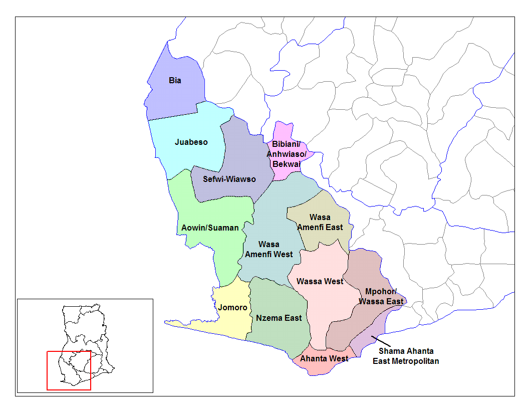
from en:districts of ghana Map of the districts of the Western region of Ghana. Created by Rarelibra for public domain use. Created using MapInfo Professional v7.5 and various mapping resources.
I, the creator of this work, hereby release it into the public domain. This applies worldwide. In case this is not legally possible, I grant any entity the right to use this work for any purpose, without any conditions, unless such conditions are required by law.
* (del) (cur) 08:09, 5 March 2006 . . Rarelibra (Talk | contribs) . . 1056x816 (45,897 bytes) (Map of the districts of the Western region of Ghana. Created by Rarelibra for public domain use. Created using MapInfo Professional v7.5 and various mapping resources.)
Created by Rarelibra for public domain use
Conditions d’utilisation
| Public domainPublic domainfalsefalse |
| Moi, propriétaire des droits d’auteur sur cette œuvre, la place dans le domaine public. Ceci s'applique dans le monde entier. Dans certains pays, ceci peut ne pas être possible ; dans ce cas : J’accorde à toute personne le droit d’utiliser cette œuvre dans n’importe quel but, sans aucune condition, sauf celles requises par la loi. |
Légendes
Éléments décrits dans ce fichier
dépeint
Historique du fichier
Cliquer sur une date et heure pour voir le fichier tel qu'il était à ce moment-là.
| Date et heure | Vignette | Dimensions | Utilisateur | Commentaire | |
|---|---|---|---|---|---|
| actuel | 28 juin 2006 à 16:04 | | 1 056 × 816 (45 kio) | Ahanta | from en:districts of ghana Map of the districts of the Western region of Ghana. Created by Rarelibra for public domain use. Created using MapInfo Professional v7.5 and various mapping resources. I, the creator of this work, hereby release it into the pub |
Utilisation du fichier
Les 3 pages suivantes utilisent ce fichier :
Usage global du fichier
Les autres wikis suivants utilisent ce fichier :
- Utilisation sur ca.wikipedia.org
- Utilisation sur ceb.wikipedia.org
- Utilisation sur dag.wikipedia.org
- Utilisation sur de.wikipedia.org
- Utilisation sur en.wikipedia.org
- Aowin/Suaman District
- Shama Ahanta East Metropolitan District
- Wassa West District
- User talk:Rarelibra/Maps2
- List of hospitals in Ghana
- Bia District
- List of Ghana Parliament constituencies
- User:GerardM/Districts of Ghana
- Mpohor/Wassa East District
- Wassa Amenfi District
- Juaboso-Bodi District
- Juaboso-Bia District
- Nzema District
- Sekondi Takoradi Metropolitan Authority
- Wassa-Fiase-Mpohor District
- Aowin-Amenfi District
- Sefwi-Bibiani District
- Utilisation sur eo.wikipedia.org
- Utilisation sur es.wikipedia.org
- Utilisation sur fa.wikipedia.org
- Utilisation sur frr.wikipedia.org
- Utilisation sur gpe.wikipedia.org
- Utilisation sur ha.wikipedia.org
- Utilisation sur it.wikipedia.org
- Utilisation sur ja.wikipedia.org
- Utilisation sur ko.wikipedia.org
- Utilisation sur la.wikipedia.org
- Utilisation sur nl.wikipedia.org
- Utilisation sur pl.wikipedia.org
- Utilisation sur pt.wikipedia.org
Voir davantage sur l’utilisation globale de ce fichier.