File:C85120s1_Ant.Map_Wisconsin_Range.jpg
De Wikipedia, l'encyclopédie encyclopedia
Taille de cet aperçu : 712 × 600 pixels. Autres résolutions : 285 × 240 pixels | 570 × 480 pixels | 912 × 768 pixels | 1 215 × 1 024 pixels | 2 431 × 2 048 pixels | 3 844 × 3 239 pixels.
Fichier d’origine (3 844 × 3 239 pixels, taille du fichier : 1,58 Mio, type MIME : image/jpeg)
Ce fichier et sa description proviennent de Wikimedia Commons.
Description
| DescriptionC85120s1 Ant.Map Wisconsin Range.jpg |
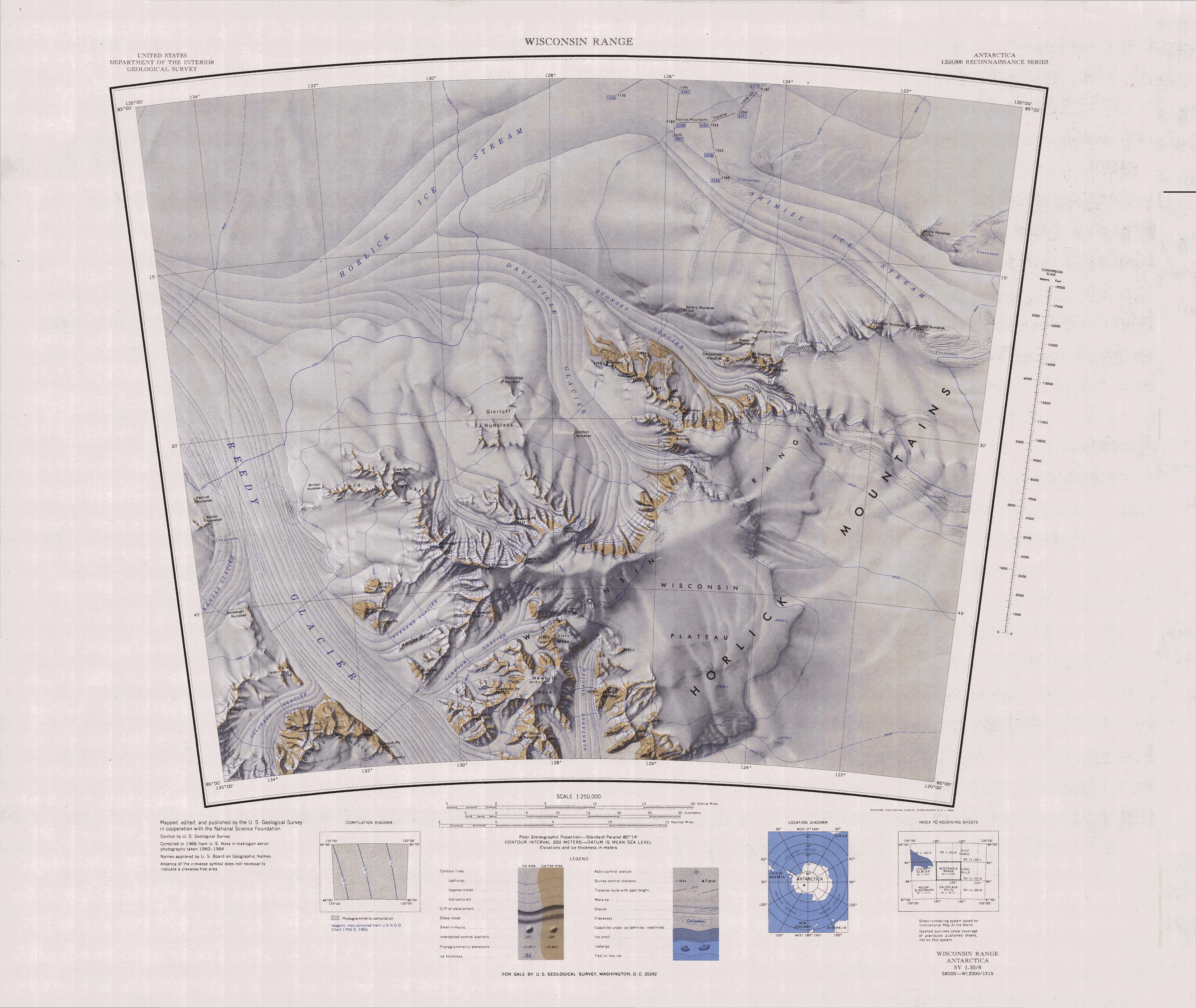
English: 1:250,000-scale topographic reconnaissance map of the Wisconsin Range area from 120°-135°W to 85°-86°S in Antarctica, including the Ready Glacier. Mapped, edited and published by the U.S. Geological Survey in cooperation with the National Science Foundation. |
||||
| Date | |||||
| Source | http://usarc.usgs.gov/drg_dload.shtml | ||||
| Auteur | United States Geological Survey | ||||
| Autorisation (Réutilisation de ce fichier) |
|
Légendes
Ajoutez en une ligne la description de ce que représente ce fichier
Éléments décrits dans ce fichier
dépeint
image/jpeg
2b8e94ed99da61e91679ee2961d357dc762a0d38
1 656 705 octet
3 239 pixel
3 844 pixel
Historique du fichier
Cliquer sur une date et heure pour voir le fichier tel qu'il était à ce moment-là.
| Date et heure | Vignette | Dimensions | Utilisateur | Commentaire | |
|---|---|---|---|---|---|
| actuel | 21 septembre 2015 à 09:41 | | 3 844 × 3 239 (1,58 Mio) | 4ing | == {{int:filedesc}} == {{Information |description={{en|1=1:250,000-scale topographic reconnaissance map of the Wisconsin Range area from 120°-135°E to 85°-86°S in Antarctica, including the Ready Glacier. Mapped, edited and published by the U.S. Geo... |
Utilisation du fichier
Aucune page n’utilise ce fichier.
Usage global du fichier
Les autres wikis suivants utilisent ce fichier :
- Utilisation sur bg.wikipedia.org
- Utilisation sur ceb.wikipedia.org
- Utilisation sur de.wikipedia.org
- Utilisation sur en.wikipedia.org
- Utilisation sur it.wikipedia.org
- Utilisation sur lld.wikipedia.org
- Utilisation sur nn.wikipedia.org
- Utilisation sur pl.wikipedia.org
- Utilisation sur www.wikidata.org
Ce document provient de « https://fr.wikipedia.org/wiki/Fichier:C85120s1_Ant.Map_Wisconsin_Range.jpg ».