Íomhá:Island_of_Ireland_relief_location_map.png
From Wikipedia, the free encyclopedia
Taispeáin leagan ardtaifigh den íomhá (1,450 × 1,807 picteilín, méid comhaid: 2.07 MB, cineál MIME: image/png)
| Seo comhad as An Cómhaoin Viciméid. Tá an tuairisc as an leathanach tuairisc Cómhaoin a leanas thíos.
|
| TuairiscIsland of Ireland relief location map.png |
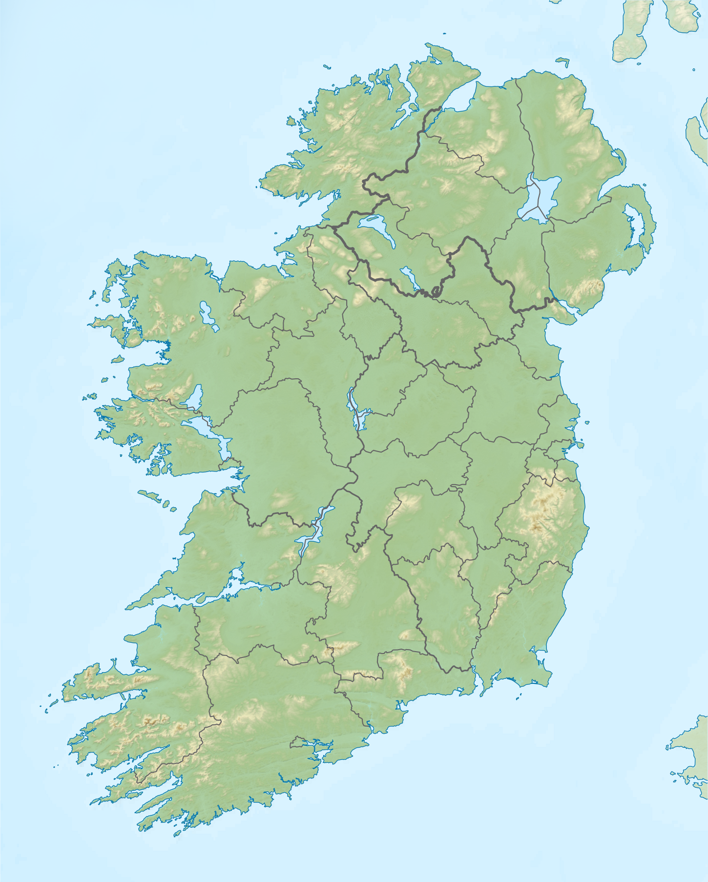
Relief map of Ireland Equirectangular map projection on WGS 84 datum, with N/S stretched 170% Geographic limits:
|
| Dáta | |
| Foinse |
Shuttle Radar Topography Mission
National Geospatial-Intelligence Agency
File:Island of Ireland location map.svg: Rannpháirtí anaithnid
|
| Údar | Nilfanion |
| Ceadúnas (Athúsáid a bhaint as an gcomhad seo) |
This file is licensed under the Creative Commons Attribution-Share Alike 3.0 Unported license.
|
Captions
Items portrayed in this file
taispeánann sé/sí
some value
15 Aibreán 2012
Stair chomhaid
Cliceáil ar dáta/am chun an comhad a radharc mar a bhí sé ag an am sin.
| Dáta/Am | Mionsamhail | Toisí | Úsáideoir | Nóta tráchta | |
|---|---|---|---|---|---|
| faoi láthair | 12:36, 26 Bealtaine 2019 | | 1,450 × 1,807 (2.07 MB) | RaviC | updated per Wikipedia:Graphics_Lab/Map_workshop#Ireland_Relief_Map_-_2014_Changes |
| 04:07, 8 Bealtaine 2012 |  | 1,450 × 1,807 (1.75 MB) | Spideog | Removed dark blue shading at top left for aesthetic balance reasons. It was distracting, and the the map is for terrestrial rather than bathymetric purposes. | |
| 22:44, 15 Aibreán 2012 |  | 1,450 × 1,807 (1.6 MB) | Nilfanion | {{Information |Description=Relief map of Ireland Equirectangular map projection on WGS 84 datum, with N/S stretched 170% Geographic limits: *West: 11.0° W *East: 5.0° W *North: 55.6° N *South: 51.2° N |Source= [[w:Shuttle Radar Topo... |
Úsáid comhaid
Tá nasc chuig an gcomhad seo ar 2 an leathanach seo a leanas:
Global file usage
The following other wikis use this file:
- Úsáid ar ar.wikipedia.org
- Úsáid ar az.wikipedia.org
- Úsáid ar be.wikipedia.org
- Úsáid ar bn.wikipedia.org
- Úsáid ar ceb.wikipedia.org
- Úsáid ar ce.wikipedia.org
- Úsáid ar da.wikipedia.org
- Úsáid ar de.wikipedia.org
- Úsáid ar en.wikipedia.org
- Achill Island
- Battle of the Boyne
- Newgrange
- Rock of Cashel
- MacGillycuddy's Reeks
- Hill of Tara
- Magh Slécht
- Lough Derg, County Donegal
- RMS Lusitania
- Turlough Hill
- Mourne Mountains
- Copeland Islands
- Valentia Island
- Skellig Islands
- Carrauntoohil
- Lough Owel
- Lough Ennell
- Treaty of Limerick
- Lough Swilly
- Lough Allen
- Lough Gur
- Mount Brandon
- Lebor na hUidre
- Clarkstown radio transmitter
View more global usage of this file.
Meiteasonraí
Tá breis eolais sa comhad seo, curtha, is dócha, as ceamara digiteach ná scanóir a chruthaigh ná a digitigh é.
Má tá an comhad mionathraithe as an bunleagan, b'fhéidir nach mbeidh ceann de na sonraí fágtha sa comhad atá athruithe.
| Taifeach íomhá i dtreo an leithid | 47.24 dpc |
|---|---|
| Taifeach íomhá i dtreo an airde | 47.24 dpc |
| Na bogearraí a úsáideadh |
|