ファイル:Census_Bureau_map_of_Trenton,_New_Jersey.png
ウィキペディア フリーな encyclopedia
高解像度版はありません。
Census_Bureau_map_of_Trenton,_New_Jersey.png (575 × 425 ピクセル、ファイルサイズ: 69キロバイト、MIME タイプ: image/png)
ウィキメディア・コモンズのファイルページにある説明を、以下に表示します。
|
概要
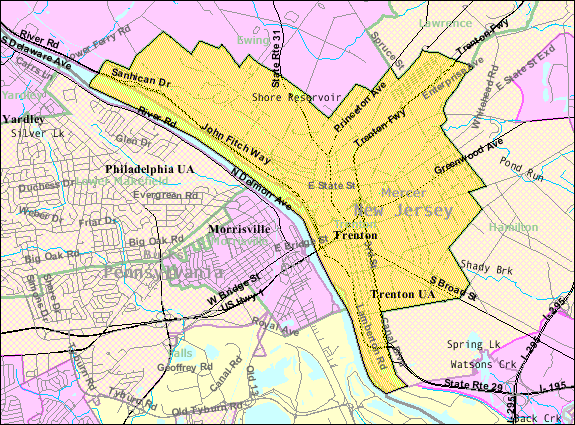
| 解説Census Bureau map of Trenton, New Jersey.png |
English: Census Bureau map of Trenton |
| 原典 | [1] |
| 作者 | United States Census Bureau |
ライセンス
| Public domainPublic domainfalsefalse |
|
English ∙ español ∙ 日本語 ∙ македонски ∙ മലയാളം ∙ português do Brasil ∙ русский ∙ українська ∙ +/− |
 |
元のアップロードログ
en.wikipedia からコモンズに Quadell によって CommonsHelper を用いて移動されました。
元のファイルページはこちら。以下の利用者は全てen.wikipediaに属します。
- 2011-02-08 20:59 Alansohn 575×425× (69525 bytes) {{Information |Description = Census Bureau map of [[Trenton, New Jersey]] |Source = [http://factfinder.census.gov/servlet/MapItDrawServlet?geo_id=16000US3474000&_bucket_id=49&tree_id=339&context=saff&_lang=en&_sse=on] |Date = ~~~~~
元のアップロードログ
| 日付と時刻 | 寸法 | 利用者 | コメント |
|---|---|---|---|
| 2013年7月4日, 20:38:07 | 575 × 425 (69525 bytes) | File Upload Bot (Magnus Manske) (トーク · 投稿記録) | Transfered from en.wikipedia by [[User:Quadell]] using CommonsHelper |
キャプション
このファイルの内容を1行で記述してください
このファイルに描写されている項目
題材
image/png
307fb4d0c4480e00c4c59c6d31653f85649370f7
71,136 バイト
425 ピクセル
575 ピクセル
ファイルの履歴
過去の版のファイルを表示するには、その版の日時をクリックしてください。
| 日付と時刻 | サムネイル | 寸法 | 利用者 | コメント | |
|---|---|---|---|---|---|
| 現在の版 | 2014年11月20日 (木) 21:05 | | 575 × 425 (69キロバイト) | GifTagger | Bot: Converting file to superior PNG file. (Source: Census_Bureau_map_of_Trenton,_New_Jersey.gif). This GIF was problematic due to non-greyscale color table. |
ファイルの使用状況
以下のページがこのファイルを使用しています:
グローバルなファイル使用状況
以下に挙げる他のウィキがこの画像を使っています:
- azb.wikipedia.org での使用状況
- bn.wikipedia.org での使用状況
- en.wikipedia.org での使用状況
- fi.wikipedia.org での使用状況
- ml.wikipedia.org での使用状況
- new.wikipedia.org での使用状況
- simple.wikipedia.org での使用状況
- th.wikipedia.org での使用状況
- ur.wikipedia.org での使用状況
- zh.wikipedia.org での使用状況