ຮູບ:ItalophoneEuropeMap.png
From Wikipedia, the free encyclopedia
ຂະໜາດຂອງຕົວຢ່າງນີ້: 544 × 599 ພິກເຊວ ຄວາມລະອຽດອື່ນ ໆ: 218 × 240 ພິກເຊວ | 436 × 480 ພິກເຊວ | 697 × 768 ພິກເຊວ | 929 × 1,024 ພິກເຊວ | 1,452 × 1,600 ພິກເຊວ
ໄຟລ໌ຕົ້ນສະບັບ (1,452 × 1,600 ປິກເຊລ, ຂະໜາດໄຟລ໌: 223 KB, MIME type: image/png)
ໄຟລ໌ນີ້ແມ່ນມາຈາກ Wikimedia Commons ແລະອາດຈະຖືກນໍາໃຊ້ໂດຍໂຄງການອື່ນ ລາຍລະອຽດກ່ຽວກັບຫນ້າລາຍລະອຽດໄຟລ໌ສະແດງຢູ່ຂ້າງລຸ່ມນີ້

|
This linguistic map image could be re-created using vector graphics as an SVG file. This has several advantages; see Commons:Media for cleanup for more information. If an SVG form of this image is available, please upload it and afterwards replace this template with
{{vector version available|new image name}}.
It is recommended to name the SVG file “ItalophoneEuropeMap.svg”—then the template Vector version available (or Vva) does not need the new image name parameter. |
ສະຫຼຸບ
| ລາຍລະອຽດItalophoneEuropeMap.png |
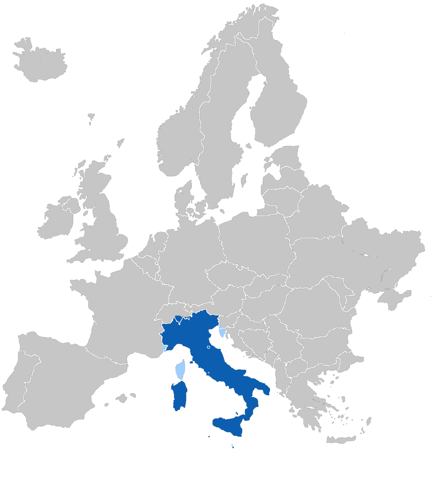
L'Europa italianofona
|
| ວັນທີ | |
| Source | Own work |
| ຜູ້ຂຽນ | BlueMars |
Licensing
| Public domainPublic domainfalsefalse |
| I, the copyright holder of this work, release this work into the public domain. This applies worldwide. In some countries this may not be legally possible; if so: I grant anyone the right to use this work for any purpose, without any conditions, unless such conditions are required by law. |
Format
Captions
Add a one-line explanation of what this file represents
Items portrayed in this file
depicts ອັງກິດ
some value
໒໗ ຕຸລາ 2006
source of file ອັງກິດ
ປະຫວັດໄຟລ໌
ຄລິກທີ່ ວັນທີ/ເວລາ ເພື່ອເບິ່ງໄຟລ໌ດັ່ງທີ່ມັນປາກົດໃນເວລານັ້ນ
| ວັນເວລາ | ຮູບຍໍ່ | ມິຕິ | ຜູ້ໃຊ້ | ຄວາມເຫັນ | |
|---|---|---|---|---|---|
| ປະຈຸບັນ | 15:04, 27 ຕຸລາ 2006 | | 1,452 × 1,600(223 KB) | BlueMars | {{Information |Description= '''The Italophone Europe''' *Blue: Native language *Ligth blue: Secondary or common language |Source= own work |Date= 27.10.06 |Author= ~~~ |Permission= |other_versions= }} |
ການໃຊ້ໄຟລ໌
ໜ້າຕໍ່ໄປນີ້ເຊື່ອມໂຍງຫາໄຟລ໌ນີ້:
ການໃຊ້ໄຟລ໌ທົ່ວໂລກ
ວິກິອື່ນ ໆ ຕໍ່ໄປນີ້ໃຊ້ໄຟລ໌ນີ້:
- ການໃຊ້ງານເທິງ af.wikipedia.org
- ການໃຊ້ງານເທິງ de.wikipedia.org
- ການໃຊ້ງານເທິງ diq.wikipedia.org
- ການໃຊ້ງານເທິງ dsb.wikipedia.org
- ການໃຊ້ງານເທິງ en.wikipedia.org
- ການໃຊ້ງານເທິງ fr.wikipedia.org
- ການໃຊ້ງານເທິງ fy.wikipedia.org
- ການໃຊ້ງານເທິງ hsb.wikipedia.org
- ການໃຊ້ງານເທິງ ja.wikipedia.org
- ການໃຊ້ງານເທິງ meta.wikimedia.org
- ການໃຊ້ງານເທິງ ms.wikipedia.org
- ການໃຊ້ງານເທິງ oc.wikibooks.org
- ການໃຊ້ງານເທິງ pt.wikipedia.org
- ການໃຊ້ງານເທິງ sco.wikipedia.org
- ການໃຊ້ງານເທິງ simple.wikipedia.org
- ການໃຊ້ງານເທິງ sr.wikipedia.org
- ການໃຊ້ງານເທິງ sv.wikipedia.org
- ການໃຊ້ງານເທິງ sw.wikipedia.org
- ການໃຊ້ງານເທິງ th.wikipedia.org
ດຶງຂໍ້ມູນຈາກ "https://lo.wikipedia.org/wiki/ຮູບ:ItalophoneEuropeMap.png"