Bestand:Midlothian_UK_relief_location_map.jpg
Uit Wikipedia, de vrije encyclopedia
Grootte van deze voorvertoning: 651 × 599 pixels. Andere resoluties: 261 × 240 pixels | 521 × 480 pixels | 834 × 768 pixels | 1.112 × 1.024 pixels | 2.005 × 1.846 pixels.
Oorspronkelijk bestand (2.005 × 1.846 pixels, bestandsgrootte: 329 kB, MIME-type: image/jpeg)
| Dit is een bestand van Wikimedia Commons. Onderstaande beschrijving komt van de beschrijving van het bestand daar. |
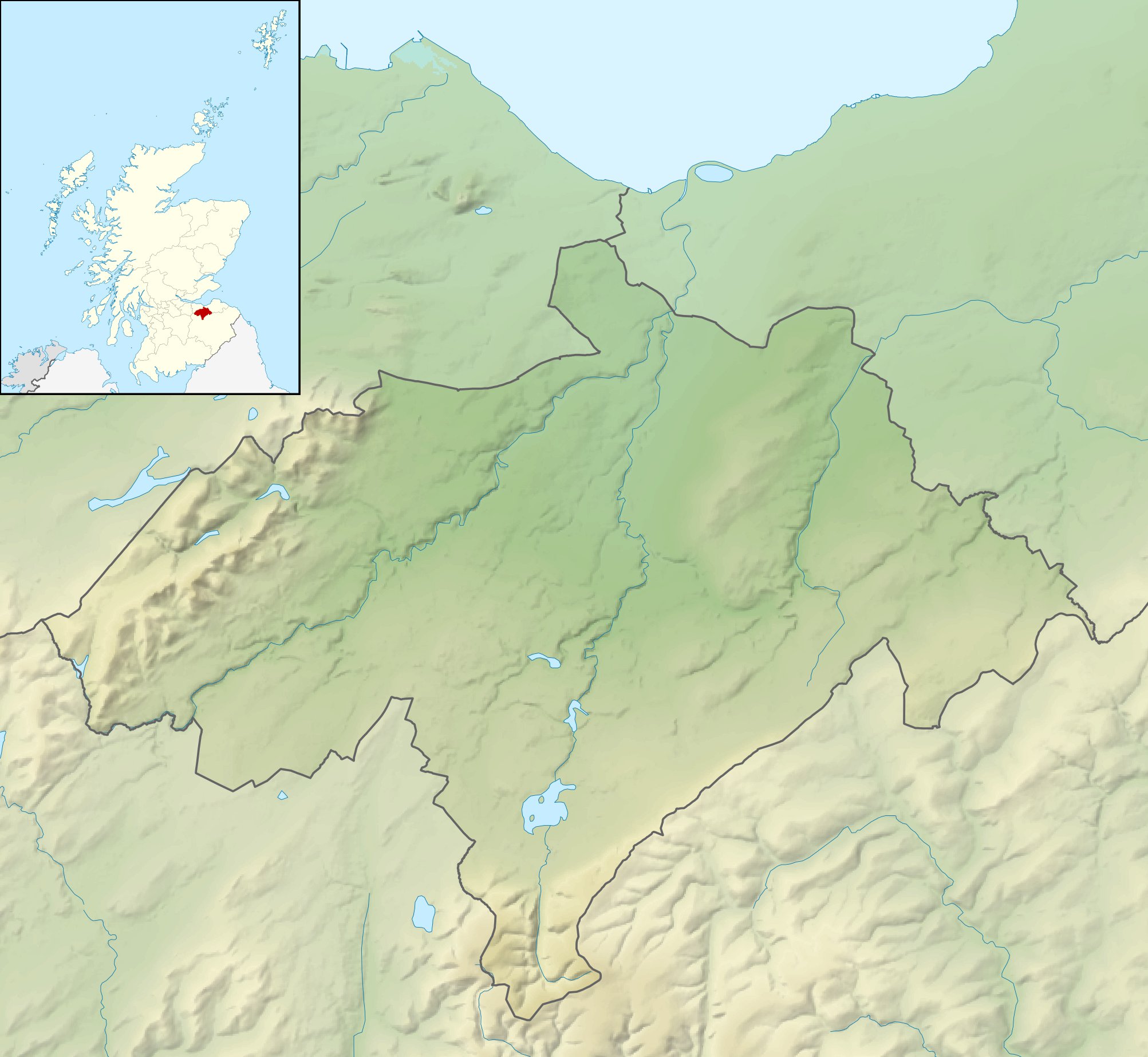
| BeschrijvingMidlothian UK relief location map.jpg |
Relief map of Midlothian, UK. Equirectangular map projection on WGS 84 datum, with N/S stretched 175% Geographic limits:
|
| Datum | |
| Bron |
|
| Auteur | Nilfanion, created using Ordnance Survey data |
| Toestemming (Hergebruik van dit bestand) |
Dit bestand is gelicenseerd onder de Creative Commons-licentie Naamsvermelding-Gelijk delen 3.0 Unported Naamsvermelding: Contains Ordnance Survey data © Crown copyright and database right
|
| Andere versies | File:Midlothian UK blank map.svg - Blank map |
Bijschriften
Beschrijf in één regel wat dit bestand voorstelt
Items getoond in dit bestand
beeldt af
30 nov 2010
Bestandsgeschiedenis
Klik op een datum/tijd om het bestand te zien zoals het destijds was.
| Datum/tijd | Miniatuur | Afmetingen | Gebruiker | Opmerking | |
|---|---|---|---|---|---|
| huidige versie | 30 nov 2011 14:23 | | 2.005 × 1.846 (329 kB) | Nilfanion | {{Information |Description=Relief map of Midlothian, UK. Equirectangular map projection on WGS 84 datum, with N/S stretched 175% Geographic limits: *West: 3.39W *East: 2.82W *North: 56.00N *South: 55.70N |Source=[[w:Ordnance Survey|Ordn |
Bestandsgebruik
Dit bestand wordt op de volgende 3 pagina's gebruikt:
Globaal bestandsgebruik
De volgende andere wiki's gebruiken dit bestand:
- Gebruikt op ar.wikipedia.org
- Gebruikt op bg.wikipedia.org
- Gebruikt op ceb.wikipedia.org
- Gebruikt op de.wikipedia.org
- Roslin Castle
- North Esk Reservoir
- Gladhouse Reservoir
- Cock Rig
- Spittal Hill
- Green Law (Pentland Hills)
- Cap Law
- Braid Law
- West Kip
- Hare Hill
- East Kip
- South Black Hill
- Scald Law
- Carnethy Hill
- Turnhouse Hill
- Black Hill (Pentland Hills)
- Bell’s Hill
- Harbour Hill
- Woodhouselee Hill
- Castlelaw Hill
- Patie’s Hill
- Vorlage:Positionskarte Schottland Midlothian
- Loganlea Reservoir
- Glencorse Reservoir
- Hog Hill (Midlothian)
- The Kipps
- Edgelaw Reservoir
- Gebruikt op en.wikipedia.org
- Gebruikt op fr.wikipedia.org
- Gebruikt op ja.wikipedia.org
- Gebruikt op kn.wikipedia.org
- Gebruikt op pl.wikipedia.org
- Gebruikt op pl.wikibooks.org
Globaal gebruik van dit bestand bekijken.