Mount Hampton
From Wikipedia, the free encyclopedia
Remove ads
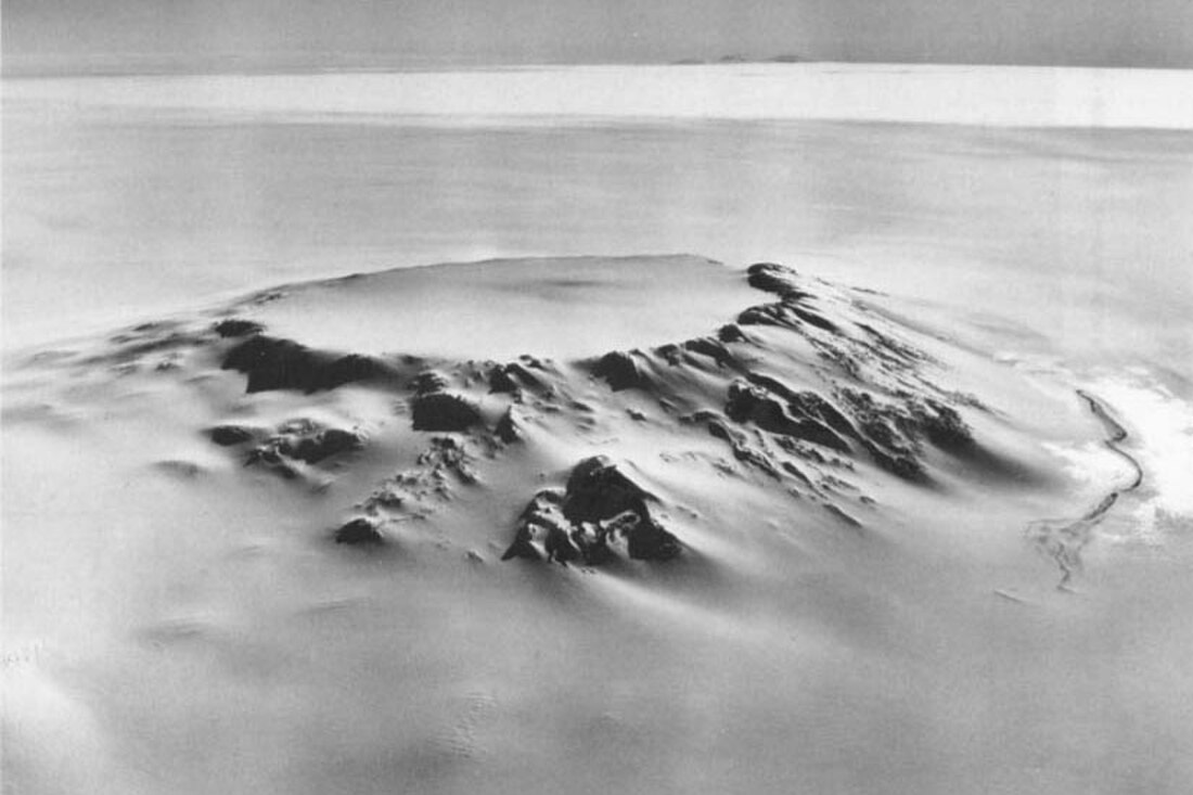
Mount Hampton er ein skjoldvulkan med eit sirkelforma, isfylt krater som dekker det meste av toppen. Han er den nordlegaste av vulkanane i Executive Committee Range i Marie Byrd Land.
Han vart oppdaga av USAS på ein flytur, 15. desember 1940 og kalla opp etter Ruth Hampton, i USAS Executive Committee. Han vart kartlagd i detalj av USGS frå landmålingar og foto av U.S. Navy 1958-60.

Remove ads
Sjå òg
Kjelder
- LeMasurier, W.E.; Thomson, J.W., red. (1990). Volcanos of the Antarctic Plate and Southern Oceans. American Geophysical Union. s. 512 pp. ISBN 0-87590-172-7.
- U.S. Geological Survey Geographic Names Information System: Mount Hampton
Wikiwand - on
Seamless Wikipedia browsing. On steroids.
Remove ads


