File:Bay_of_Bengal_map_ka.png
De Wikipedia, a enciclopédia encyclopedia
Dimensões desta antevisão: 588 × 599 píxeis. Outras resoluções: 236 × 240 píxeis | 471 × 480 píxeis | 1 000 × 1 019 píxeis.
Imagem numa resolução maior (1 000 × 1 019 píxeis, tamanho: 291 kB, tipo MIME: image/png)
|
|
Esta imagem provém do Wikimedia Commons, um acervo de conteúdo livre da Wikimedia Foundation que pode ser utilizado por outros projetos.
|
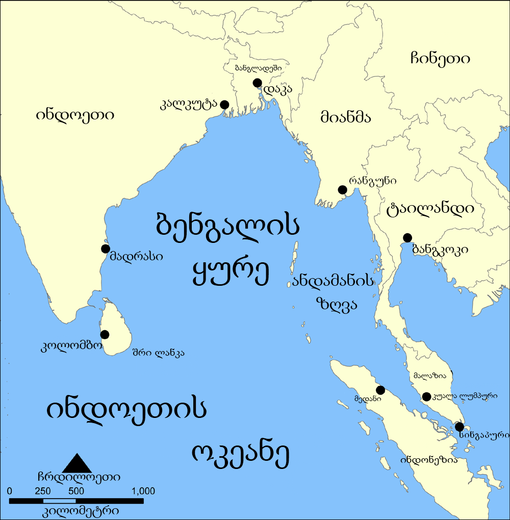
| DescriçãoBay of Bengal map ka.png | A map showing the location of the Bay of Bengal and the Andaman Sea in southeast Asia. Created by NormanEinstein, September 15, 2005. |
| Data | (UTC) |
| Origem | |
| Autor |
|
| Esta é uma imagem retocada, o que significa que a versão original foi alterada digitalmente. Modificações: Translated into Georgian. O original pode ser visto aqui: Bay of Bengal map.png:
|
Eu, titular dos direitos de autor desta obra, publico-a com as seguintes licenças:
| A utilização deste ficheiro é regulada nos termos da licença Creative Commons - Atribuição-CompartilhaIgual 3.0 Não Adaptada. | ||
| ||
| Esta marca de licenciamento foi adicionada a este ficheiro durante a atualização da licença GFDL.http://creativecommons.org/licenses/by-sa/3.0/CC BY-SA 3.0Creative Commons Attribution-Share Alike 3.0truetrue |

|
É concedida permissão para copiar, distribuir e/ou modificar este documento nos termos da Licença de Documentação Livre GNU, versão 1.2 ou qualquer versão posterior publicada pela Free Software Foundation; sem Secções Invariantes, sem textos de Capa e sem textos de Contra-Capa. É incluída uma cópia da licença na secção intitulada GNU Free Documentation License.http://www.gnu.org/copyleft/fdl.htmlGFDLGNU Free Documentation Licensetruetrue |
Pode escolher a licença que quiser.
Registo de carregamento original
This image is a derivative work of the following images:
- File:Bay_of_Bengal_map.png licensed with Cc-by-sa-3.0-migrated, GFDL
- 2006-02-06T14:47:19Z NormanEinstein 1000x1019 (349850 Bytes) Corrected typo.
- 2005-09-15T20:33:04Z NormanEinstein 800x814 (268248 Bytes) A map showing the location of the Bay of Bengal and the Andaman Sea in southeast Asia. Created by NormanEinstein, September 15, 2005. {{GFDL-self}} [[Category:Maps of Seas]]
Carregada com derivativeFX
Legendas
Adicione uma explicação de uma linha do que este ficheiro representa
Elementos retratados neste ficheiro
retrata
image/png
8f0859bd1c596aafaba6352e55349a8a58a43af6
297 502 byte
1 019 pixel
1 000 pixel
Histórico do ficheiro
Clique uma data e hora para ver o ficheiro tal como ele se encontrava nessa altura.
| Data e hora | Miniatura | Dimensões | Utilizador | Comentário | |
|---|---|---|---|---|---|
| atual | 10h03min de 2 de agosto de 2010 | | 1 000 × 1 019 (291 kB) | Giorgi13 | ითარგმნა ბოლომდე და შეცდომა გასწორდა |
| 07h52min de 26 de julho de 2010 |  | 1 000 × 1 019 (295 kB) | DerFuchs | {{Information |Description=A map showing the location of the Bay of Bengal and the Andaman Sea in southeast Asia. Created by NormanEinstein, September 15, 2005. |Source=*File:Bay_of_Bengal_map.png |Date=2010-07-26 07:51 (UTC) |Author=*[[:File:Bay_o |
Utilização local do ficheiro
Não há nenhuma página que use este ficheiro.
Utilização global do ficheiro
As seguintes wikis usam este ficheiro:
- ka.wikipedia.org
- xmf.wikipedia.org