Altissimo
'nu comune tagliáne From Wikipedia, the free encyclopedia
Altissimo éte 'nu comune tagliáne de 2.263 crestiáne.
| Altissimo comune tagliàne | ||
|---|---|---|
 | ||
| ||
| State | ||
| Reggione | ||
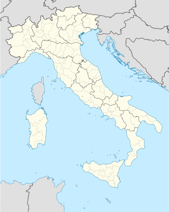
| Provinge | Viscenze | |
| Coordinate | 45°37′00″N 11°14′00″E | |
| Altitudine | 115 m s.l.m. | |
| Superficie | 14 km² | |
| Crestiàne | 2 331 (31 ottobre 2008) | |
| Denzetà | 166 cr./km² | |
| Fraziune | Campanella, Molino | |
| Comune 'nzeccate | Brogliano, Crespadoro, Nogarole Vicentino, Recoaro Terme, San Pietro Mussolino, Valdagno, Vestenanova (VR) | |
| CAP | 36070 | |
| Prefisse | 0444 | |
| Codece ISTAT | 024005 | |
| Cod. catastale | A236 | |
| Nome javetande | altissimensi | |
 Altissimo | ||
| Site istituzionale | ||
Wikiwand in your browser!
Seamless Wikipedia browsing. On steroids.
Every time you click a link to Wikipedia, Wiktionary or Wikiquote in your browser's search results, it will show the modern Wikiwand interface.
Wikiwand extension is a five stars, simple, with minimum permission required to keep your browsing private, safe and transparent.