Cerro Tanaro
From Wikipedia, the free encyclopedia

Cerro Tanaro éte 'nu comune tagliáne de 613 crestiáne.
| Cerro Tanaro comune tagliàne | ||
|---|---|---|
 | ||
| ||
| State | ||
| Reggione | ||
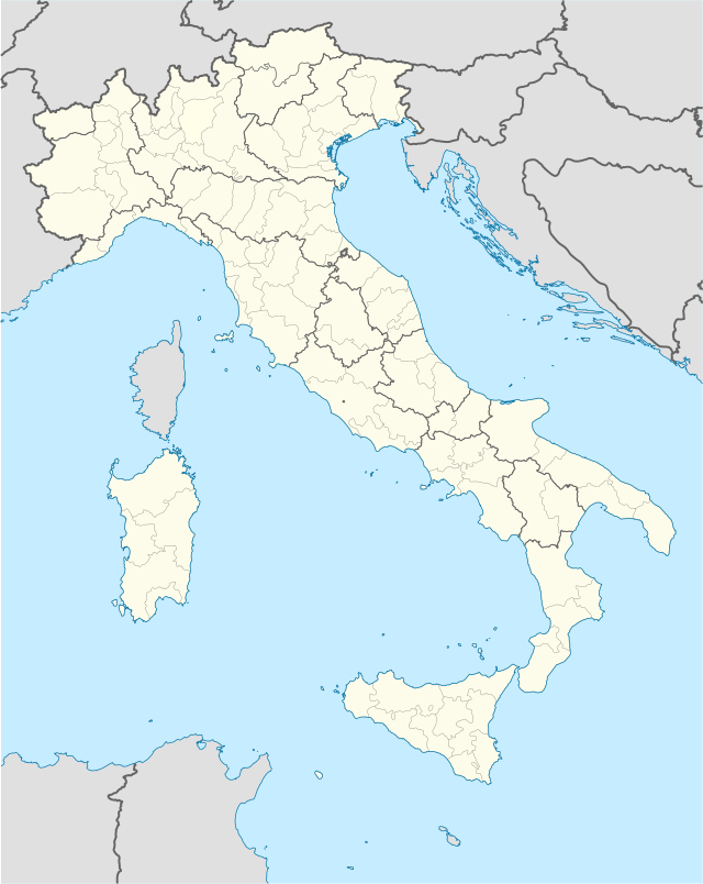
| Provinge | Asti | |
| Coordinate | 44°52′27″N 8°21′35″E | |
| Altitudine | 109 m s.l.m. | |
| Superficie | 4,69 km² | |
| Crestiàne | 623 (31-05-2007 (fonte Istat)) | |
| Denzetà | 133 cr./km² | |
| Comune 'nzeccate | Castello di Annone, Masio (AL), Quattordio (AL), Rocchetta Tanaro | |
| CAP | 14030 | |
| Prefisse | 0141 | |
| Codece ISTAT | 005036 | |
| Cod. catastale | C533 | |
| Nome javetande | cerresi | |
| Patrone | San Giovanni Battista | |
| Sciurne festive | 24 giugno | |
 Cerro Tanaro | ||
| Site istituzionale | ||
Wikiwand in your browser!
Seamless Wikipedia browsing. On steroids.
Every time you click a link to Wikipedia, Wiktionary or Wikiquote in your browser's search results, it will show the modern Wikiwand interface.
Wikiwand extension is a five stars, simple, with minimum permission required to keep your browsing private, safe and transparent.