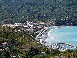
Levanto
'nu comune tagliáne From Wikipedia, the free encyclopedia
Levanto éte 'nu comune tagliáne de 5.638 crestiáne.
| Lèvanto comune tagliàne | |||
|---|---|---|---|
 | |||
| |||
| State | |||
| Reggione | |||
| Provinge | |||
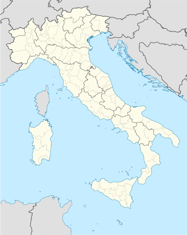
| Coordinate | 44°10′00″N 9°37′00″E | ||
| Altitudine | 3 m s.l.m. | ||
| Superficie | 38 km² | ||
| Crestiàne | 5 616 (31-12-2007 (fonte Istat)) | ||
| Denzetà | 148 cr./km² | ||
| Fraziune | Casella, Chiesanuova, Dosso, Fontona, Fossato, Groppo, Lavaggiorosso, Le Ghiare, Legnaro, Lerici, Lizza, Mesco, Montale, Pastine, Ridarolo, San Gottardo, Vignana | ||
| Comune 'nzeccate | Bonassola, Borghetto di Vara, Carrodano, Framura, Monterosso al Mare, Pignone | ||
| CAP | 19015 | ||
| Prefisse | 0187 | ||
| Codece ISTAT | 011017 | ||
| Cod. catastale | E560 | ||
| Nome javetande | levantesi | ||
| Patrone | sant'Andrea | ||
| Sciurne festive | 30 novembre | ||
| Site istituzionale | |||
Wikiwand in your browser!
Seamless Wikipedia browsing. On steroids.
Every time you click a link to Wikipedia, Wiktionary or Wikiquote in your browser's search results, it will show the modern Wikiwand interface.
Wikiwand extension is a five stars, simple, with minimum permission required to keep your browsing private, safe and transparent.


