File:Dominican_Republic_relief_location_map.jpg
From Wikipedia, the free encyclopedia
Size of this preview: 737 × 599 pixels. Other resolutions: 295 × 240 pixels | 590 × 480 pixels | 945 × 768 pixels | 1,259 × 1,024 pixels | 1,338 × 1,088 pixels.
Original file (1,338 × 1,088 pixels, file size: 403 KB, MIME type: image/jpeg)
| This is a file from the Wikimedia Commons. Information from its description page there is shown below. Commons is a freely licensed media file repository. You can help. |
Summary
| DescriptionDominican Republic relief location map.jpg |
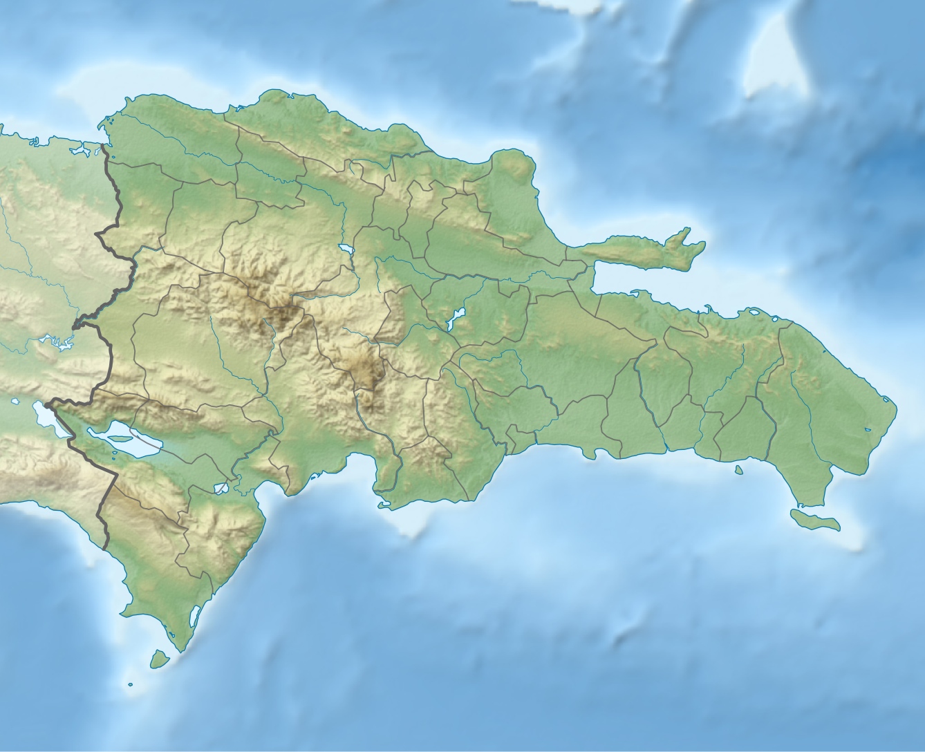
Deutsch: Physische Positionskarte Dominikanische Republik mit Provinzen, Quadratische Plattkarte, N-S-Streckung 105 %. Geographische Begrenzung der Karte:
English: Physical Location map Dominican Republic with Provinces, Equirectangular projection, N/S stretching 105 %. Geographic limits of the map:
|
||
| Date | |||
| Source | Own work, SRTM3, ETOPO1, VMAP0, http://www.one.gob.do, http://lib.utexas.edu/maps/dominican_republic.html | ||
| Author | Alexrk2 | ||
| Other versions |
|
||
| JPG development InfoField |
|


Licensing
I, the copyright holder of this work, hereby publish it under the following license:
This file is licensed under the Creative Commons Attribution-Share Alike 3.0 Unported license.
- You are free:
- to share – to copy, distribute and transmit the work
- to remix – to adapt the work
- Under the following conditions:
- attribution – You must give appropriate credit, provide a link to the license, and indicate if changes were made. You may do so in any reasonable manner, but not in any way that suggests the licensor endorses you or your use.
- share alike – If you remix, transform, or build upon the material, you must distribute your contributions under the same or compatible license as the original.
Captions
Add a one-line explanation of what this file represents
Items portrayed in this file
depicts
February 2010
image/jpeg
File history
Click on a date/time to view the file as it appeared at that time.
| Date/Time | Thumbnail | Dimensions | User | Comment | |
|---|---|---|---|---|---|
| current | 17:36, 8 February 2010 | | 1,338 × 1,088 (403 KB) | Alexrk2 | == Summary == {{Information |Description= {{de|Physische Positionskarte Dominikanische Republik mit Provinzen, Quadratische Plattkarte, N-S-Streckung 105 %. Geographische Begrenzung der Karte:}} {{en|Physical Location map |
File usage
The following 26 pages use this file:
- Barahona, Dominican Republic
- Dajabón River
- El Llano, Dominican Republic
- Jimaní
- Juan Santiago, Dominican Republic
- La Romana, Dominican Republic
- Loma de Cabrera
- Mao, Dominican Republic
- Moca, Dominican Republic
- Monte Plata
- Nagua
- Neiba
- Pedernales, Dominican Republic
- Pedro Santana, Dominican Republic
- Río Limpio, Elías Piña
- Salvaleón de Higüey
- San Fernando de Monte Cristi
- San Pedro de Macorís
- Santiago de los Caballeros
- Santo Domingo
- Santo Domingo Este
- Sosúa
- Villa Los Almácigos
- Yaque del Norte River
- Module:Location map/data/Dominican Republic
- Module:Location map/data/Dominican Republic/doc
Global file usage
The following other wikis use this file:
- Usage on af.wikipedia.org
- Usage on ar.wikipedia.org
- Usage on ast.wikipedia.org
- Usage on az.wikipedia.org
- Usage on bar.wikipedia.org
- Usage on ba.wikipedia.org
- Usage on be.wikipedia.org
- Usage on bg.wikipedia.org
- Usage on bn.wikipedia.org
- Usage on bs.wikipedia.org
- Usage on ca.wikipedia.org
- Usage on ceb.wikipedia.org
- Usage on ce.wikipedia.org
- Usage on ckb.wikipedia.org
- Usage on cs.wikipedia.org
- Usage on da.wikipedia.org
- Usage on de.wikipedia.org
View more global usage of this file.