File:Location_map_Madrid.png
From Wikipedia, the free encyclopedia
Original file (901 × 805 pixels, file size: 1.02 MB, MIME type: image/png)
| This is a file from the Wikimedia Commons. Information from its description page there is shown below. Commons is a freely licensed media file repository. You can help. |
Summary
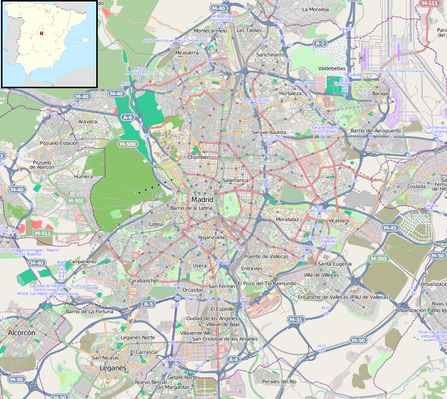
| DescriptionLocation map Madrid.png |
English: Map of Madrid, Spain.
Español: Mapa de Madrid, España.
Geographic limits of the map:
|
| Date |
|
| Source |
This file is lacking source information.
Please edit this file's description and provide a source. |
| Author |
This file is lacking author information.
|
|Source=Maps for Free (OSM). Insert modificayion of File:Spain location map.svg |Author=Dr. Blofeld, insert originally by Nordnordwest |Date=2011-05-30 |Permission= |other_versions= }}
Licensing
- You are free:
- to share – to copy, distribute and transmit the work
- to remix – to adapt the work
- Under the following conditions:
- attribution – You must give appropriate credit, provide a link to the license, and indicate if changes were made. You may do so in any reasonable manner, but not in any way that suggests the licensor endorses you or your use.
- share alike – If you remix, transform, or build upon the material, you must distribute your contributions under the same or compatible license as the original.
Captions
Items portrayed in this file
depicts
30 May 2011
File history
Click on a date/time to view the file as it appeared at that time.
| Date/Time | Thumbnail | Dimensions | User | Comment | |
|---|---|---|---|---|---|
| current | 18:22, 10 November 2011 | | 901 × 805 (1.02 MB) | Blofeld Dr. | |
| 15:47, 30 May 2011 |  | 901 × 805 (900 KB) | Blofeld Dr. | {{Information |Description ={{en|1=h}} |Source =h |Author =h |Date =h |Permission = |other_versions = }} |
File usage
The following 6 pages use this file:
Global file usage
The following other wikis use this file:
- Usage on af.wikipedia.org
- Usage on ar.wikipedia.org
- Usage on ast.wikipedia.org
- Usage on avk.wikipedia.org
- Usage on azb.wikipedia.org
- Usage on az.wikipedia.org
- Usage on ban.wikipedia.org
- Usage on bg.wikipedia.org
- Usage on bs.wikipedia.org
- Usage on ca.wikipedia.org
- Usage on ceb.wikipedia.org
- Usage on da.wikipedia.org
- Usage on en.wikipedia.org
- Madrid–Barajas Airport
- Madrid Atocha railway station
- Sabatini Gardens
- Manzanares Park
- Plaza Mayor, Madrid
- Madrid Chamartín railway station
- Vista Alegre (Madrid Metro)
- Quevedo (Madrid Metro)
- Madrid derby
- Torre PwC
- Barrio de la Concepción (Madrid Metro)
- Santiago Bernabéu (Madrid Metro)
- Nueva Numancia (Madrid Metro)
- Parque del Oeste
- Aeropuerto T1-T2-T3 (Madrid Metro)
- Avenida de América (Madrid Metro)
- Pueblo Nuevo (Madrid Metro)
- Juan Carlos I Park
- Nuevos Ministerios (Madrid Metro)
- Basilica of Nuestra Señora de Atocha
- Matadero Madrid
- Gran Vía (Madrid Metro)
- Module:Location map/data/Spain Madrid/doc
- La Latina (Madrid Metro)
- Hotel Florida (Madrid)
- Grand Hôtel de París
View more global usage of this file.
Metadata
This file contains additional information, probably added from the digital camera or scanner used to create or digitize it.
If the file has been modified from its original state, some details may not fully reflect the modified file.
| Horizontal resolution | 37.8 dpc |
|---|---|
| Vertical resolution | 37.8 dpc |