File:LocatorMap_Malacca_Strait.png
From Wikipedia, the free encyclopedia
Size of this preview: 800 × 523 pixels. Other resolutions: 320 × 209 pixels | 640 × 419 pixels | 916 × 599 pixels.
Original file (916 × 599 pixels, file size: 13 KB, MIME type: image/png)
| This is a file from the Wikimedia Commons. Information from its description page there is shown below. Commons is a freely licensed media file repository. You can help. |
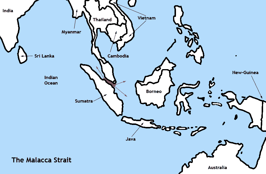
| DescriptionLocatorMap Malacca Strait.png | The Malacca Strait | |||
| Date | ||||
| Source | Own work | |||
| Author | TBjornstad 15:21, 27 August 2006 (UTC) | |||
| Permission (Reusing this file) |
|
Captions
Add a one-line explanation of what this file represents
Items portrayed in this file
depicts
some value
27 August 2006
File history
Click on a date/time to view the file as it appeared at that time.
| Date/Time | Thumbnail | Dimensions | User | Comment | |
|---|---|---|---|---|---|
| current | 15:21, 27 August 2006 | | 916 × 599 (13 KB) | ToB | {{Information |Description=The Malacca Strait |Source= |Date=August 27th 2006 |Author=~~~~ |Permission=Public Domain |other_versions=None }} Category:Maps of Oceania |
File usage
The following 2 pages use this file:
Global file usage
The following other wikis use this file:
- Usage on fi.wikipedia.org
- Usage on ms.wikipedia.org
- Usage on nn.wikipedia.org
Retrieved from "https://simple.wikipedia.org/wiki/File:LocatorMap_Malacca_Strait.png"