File:CIS-Map.png
From Wikipedia, the free encyclopedia
冇更高解像度嘅圖像。
CIS-Map.png (538 × 186 像素,檔案大細:8 KB ,MIME類型:image/png)
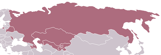
Commonwealth of Independent States - Map
| Public domainPublic domainfalsefalse |
| This work has been released into the public domain by its author, Aris Katsaris at 英文 維基百科. This applies worldwide. In some countries this may not be legally possible; if so: Aris Katsaris grants anyone the right to use this work for any purpose, without any conditions, unless such conditions are required by law.Public domainPublic domainfalsefalse |
Captions
Add a one-line explanation of what this file represents
Items portrayed in this file
圖中顯示嘅係
image/png
8,355 字節
186 像素
538 像素
檔案歷史
撳個日期/時間去睇響嗰個時間出現過嘅檔案。
| 日期/時間 | 縮圖 | 尺寸 | 用戶 | 註解 | |
|---|---|---|---|---|---|
| 現時 | 2014年3月19號 (三) 21:04 | 538 × 186(8 KB) | A2D2 | Update | |
| 2005年4月30號 (六) 03:03 | 538 × 186(4 KB) | Messhermit~commonswiki | Commonwealth of Independent States - Map {{PD-user-en|Aris Katsaris}} |
檔案用途
以下嘅1版用到呢個檔:
全域檔案使用情況
下面嘅維基都用緊呢個檔案:
- af.wikipedia.org嘅使用情況
- en.wikipedia.org嘅使用情況
- hif.wikipedia.org嘅使用情況
- id.wikipedia.org嘅使用情況
- kn.wikipedia.org嘅使用情況
- ko.wikipedia.org嘅使用情況
- lt.wikipedia.org嘅使用情況
- mwl.wikipedia.org嘅使用情況
- no.wikipedia.org嘅使用情況
- pl.wiktionary.org嘅使用情況
- pt.wikipedia.org嘅使用情況
- ro.wikipedia.org嘅使用情況
- ru.wikipedia.org嘅使用情況
- su.wikipedia.org嘅使用情況
- vi.wikipedia.org嘅使用情況