File:Australian_local_government_areas.png
維基百科,自由的 encyclopedia
本预览的尺寸:642 × 600像素。 其他分辨率:257 × 240像素 | 514 × 480像素 | 822 × 768像素 | 1,096 × 1,024像素 | 1,501 × 1,402像素。
原始文件 (1,501 × 1,402像素,文件大小:339 KB,MIME类型:image/png)
| 描述Australian local government areas.png |
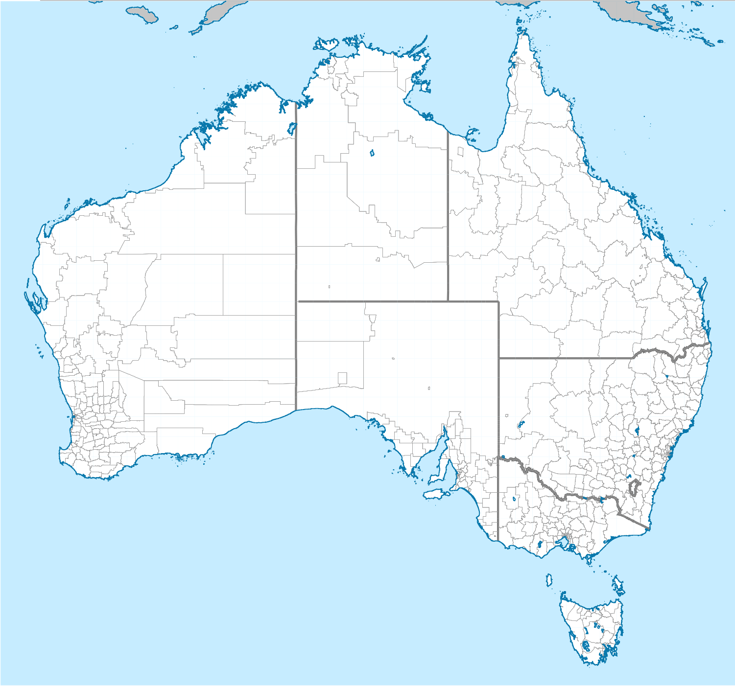
English: Map of Australian local government areas, created from data from the ABS.
|
||
| 来源 | 自己的作品 | ||
| 作者 | Cassowary |

说明
添加一行文字以描述该文件所表现的内容
此文件中描述的项目
描繪內容
GNU自由文档许可证1.2或更高版本 简体中文(已转写)
image/png
347,183 字节
1,402 像素
1,501 像素
文件历史
点击某个日期/时间查看对应时刻的文件。
| 日期/时间 | 缩略图 | 大小 | 用户 | 备注 | |
|---|---|---|---|---|---|
| 当前 | 2011年3月10日 (四) 20:48 | | 1,501 × 1,402(339 KB) | Cassowary | {{Information |Description ={{en|1=Map of Australian local government areas, created from data from the ABS. {{gfdl|migration=not-eligible}}}} |Source ={{own}} |Author =Cassowary |Date = |Permission = | |
文件用途
以下5个页面使用本文件:
全域文件用途
以下其他wiki使用此文件:
- ar.wikipedia.org上的用途
- da.wikipedia.org上的用途
- de.wikipedia.org上的用途
- en.wikipedia.org上的用途
- eo.wikipedia.org上的用途
- es.wikipedia.org上的用途
- fi.wikipedia.org上的用途
- fr.wikipedia.org上的用途
- gl.wikipedia.org上的用途
- ja.wikipedia.org上的用途
- nl.wikipedia.org上的用途
- pl.wikipedia.org上的用途
- ru.wikipedia.org上的用途
- vi.wikipedia.org上的用途