File:Canada_Southern_Quebec_location_map.png
維基百科,自由的 encyclopedia
此为最大尺寸。
Canada_Southern_Quebec_location_map.png (535 × 435像素,文件大小:133 KB,MIME类型:image/png)
摘要
| 描述Canada Southern Quebec location map.png |
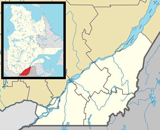
English: Map of southern Québec Province within Canada, for use in location map templates. Français : Carte du sud du Québec. |
| 日期 | (UTC) |
| 来源 |
本檔案衍生自: Canada Quebec location map 2.svg:  |
| 作者 |
|

|
此locator map图片可使用矢量图形重新创建为SVG文件。这具有很多好处;更多信息请参见共享资源:待清理媒体。如果存在此图片的SVG格式,请将其上传,然后将此模板替换为
{{vector version available|新图片名称}}。
建议您将SVG命名为“Canada Southern Quebec location map.svg”,这样在使用Vector version available(或Vva)模板时就不需要填写新图片名称参数。 |
许可协议
我,本作品著作权人,特此采用以下许可协议发表本作品:
| Public domainPublic domainfalsefalse |
| 我,本作品著作权人,释出本作品至公有领域。这适用于全世界。 在一些国家这可能不合法;如果是这样的话,那么: 我无条件地授予任何人以任何目的使用本作品的权利,除非这些条件是法律规定所必需的。 |
原始上传日志
This image is a derivative work of the following images:
- File:Canada_Quebec_location_map_2.svg licensed with PD-self
- 2009-09-24T18:30:53Z Hanhil 2316x2822 (2687510 Bytes) {{Information |Description={{en|1=Québec Province within Canada.}} {{es|1=Provincia de Quebec en Canadá.}} |Source=Based on [[:Image:Canada_Quebec_location_map.svg]] |Author=~~~~ based on [[User:EOZyo|EOZyo]] |Date=2009-09-
Uploaded with derivativeFX
说明
添加一行文字以描述该文件所表现的内容
此文件中描述的项目
描繪內容
著作权持有者释出至公有领域 简体中文(已转写)
15 12 2012
image/png
135,690 字节
435 像素
535 像素
文件历史
点击某个日期/时间查看对应时刻的文件。
| 日期/时间 | 缩略图 | 大小 | 用户 | 备注 | |
|---|---|---|---|---|---|
| 当前 | 2013年5月2日 (四) 03:42 | | 535 × 435(133 KB) | Gordalmighty | boundary fix |
| 2013年5月1日 (三) 14:46 |  | 535 × 435(132 KB) | Gordalmighty | colour problem | |
| 2013年5月1日 (三) 05:25 |  | 535 × 435(133 KB) | Gordalmighty | uploaded proper file | |
| 2013年5月1日 (三) 04:47 |  | 535 × 435(102 KB) | Gordalmighty | boundary fix | |
| 2013年4月23日 (二) 19:12 |  | 520 × 420(93 KB) | Gordalmighty | localized map to south of Saint Lawrence River & added colour | |
| 2012年12月15日 (六) 00:13 |  | 600 × 400(92 KB) | P199 | == {{int:filedesc}} == {{Information |Description={{en|1=Map of southern Québec Province within Canada, for use in location map templates.}} |Source={{Derived from|Canada_Quebec_location_map_2.svg|display=50}} |Date=2012-12-15 00:12 (UTC) |Author=*[[:... |
文件用途
全域文件用途
以下其他wiki使用此文件:
- ar.wikipedia.org上的用途
- ca.wikipedia.org上的用途
- ceb.wikipedia.org上的用途
- diq.wikipedia.org上的用途
- el.wikipedia.org上的用途
- en.wikipedia.org上的用途
- Longueuil
- Westmount
- Dorval
- Hampstead, Quebec
- Mount Royal, Quebec
- L'Île-Dorval
- Sainte-Anne-de-Bellevue
- Laval, Quebec
- Sherbrooke
- Stanstead, Quebec
- Saint-Jean-sur-Richelieu
- Granby, Quebec
- Châteauguay
- Lévis
- Victoriaville
- Saint-Hyacinthe
- Beaconsfield, Quebec
- Baie-D'Urfé
- Lennoxville, Quebec
- Pointe-Claire
- Thetford Mines
- Saint-Hubert, Quebec
- Saint-Georges, Quebec
- Boucherville
- Pointe-Fortune, Quebec
- Rigaud, Quebec
- Vaudreuil-Dorion
- Richmond, Quebec
- Greenfield Park, Quebec
- Saint-Lambert, Montérégie
- Brossard
- Dollard-des-Ormeaux
- Sorel-Tracy
- Sainte-Julie, Quebec
- Salaberry-de-Valleyfield
- Saint-Bruno-de-Montarville
- Saint-Constant, Quebec
- Kirkland, Quebec
- Chambly, Quebec
- Varennes, Quebec
- Beloeil, Quebec
- La Prairie, Quebec
- Sainte-Catherine, Quebec
- Magog, Quebec
查看此文件的更多全域用途。
元数据
此文件中包含有扩展的信息。这些信息可能是由数码相机或扫描仪在创建或数字化过程中所添加。
如果此文件的源文件已经被修改,一些信息在修改后的文件中将不能完全反映出来。
| 水平分辨率 | 37.8 dpc |
|---|---|
| 垂直分辨率 | 37.8 dpc |