File:Map_of_the_World_(1914).PNG
維基百科,自由的 encyclopedia
本预览的尺寸:800 × 443像素。 其他分辨率:320 × 177像素 | 640 × 354像素 | 1,024 × 567像素 | 1,500 × 830像素。
原始文件 (1,500 × 830像素,文件大小:92 KB,MIME类型:image/png)
摘要
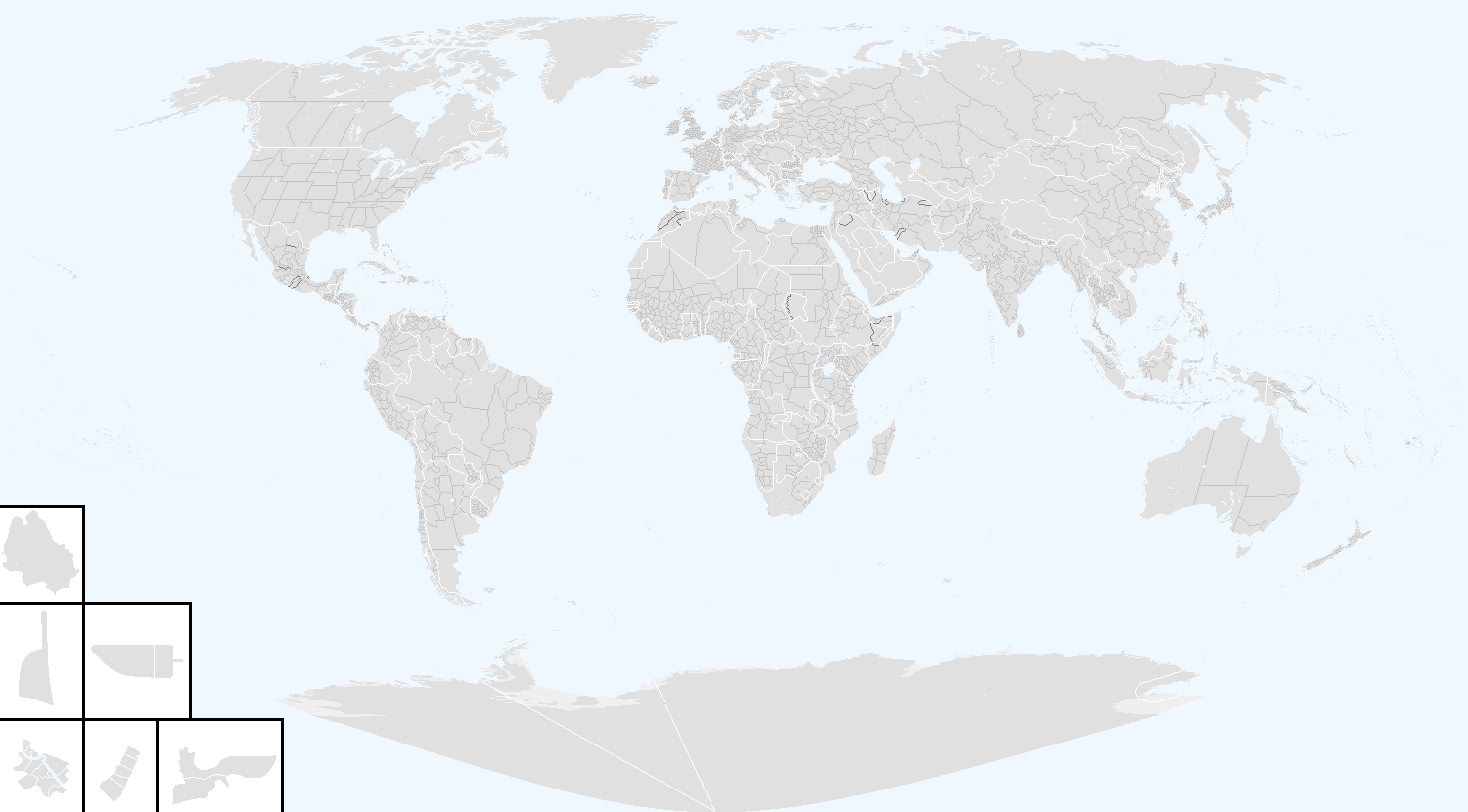
- Beschreibung: Die Darstellungskarte zeigt die Welt am Vorabend des Ersten Weltkrieges.
- Quelle: Putzger Historischer Weltatlas
- Description: The representation map shows the world the eve of the First World War.
- Source: Putzger historical world Atlas
- design by: Postmann Michael
- 20. Febr. 2006
- Public domain
| Public domainPublic domainfalsefalse |
| 本作品已被作者Postmann Michael释出到公有领域。这适用于全世界。 在一些国家这可能不合法;如果是这样的话,那么: |
说明
添加一行文字以描述该文件所表现的内容
此文件中描述的项目
描繪內容
著作权持有者释出至公有领域 简体中文(已转写)
文件历史
点击某个日期/时间查看对应时刻的文件。
| 日期/时间 | 缩略图 | 大小 | 用户 | 备注 | |
|---|---|---|---|---|---|
| 当前 | 2018年10月3日 (三) 20:44 | | 1,500 × 830(92 KB) | AHC300 | 1 |
| 2018年10月2日 (二) 23:16 |  | 1,500 × 830(92 KB) | AHC300 | 1 | |
| 2018年9月24日 (一) 18:15 |  | 1,500 × 830(91 KB) | AHC300 | 1 | |
| 2018年9月24日 (一) 18:08 |  | 1,500 × 830(91 KB) | AHC300 | 1 | |
| 2018年9月24日 (一) 18:07 |  | 1,500 × 830(91 KB) | AHC300 | Reverted to version as of 17:25, 24 September 2018 (UTC) | |
| 2018年9月24日 (一) 18:06 |  | 1,500 × 830(91 KB) | AHC300 | 1 | |
| 2018年9月24日 (一) 17:25 |  | 1,500 × 830(91 KB) | AHC300 | 1 | |
| 2018年9月24日 (一) 17:24 |  | 1,500 × 740(90 KB) | AHC300 | 1 | |
| 2018年9月19日 (三) 13:05 |  | 1,500 × 830(60 KB) | AHC300 | 1 | |
| 2018年9月13日 (四) 02:47 |  | 1,500 × 830(59 KB) | AHC300 | 1 |
文件用途
没有页面链接到本图像。
全域文件用途
以下其他wiki使用此文件:
- eu.wikipedia.org上的用途
元数据
此文件中包含有扩展的信息。这些信息可能是由数码相机或扫描仪在创建或数字化过程中所添加。
如果此文件的源文件已经被修改,一些信息在修改后的文件中将不能完全反映出来。
| 水平分辨率 | 47.24 dpc |
|---|---|
| 垂直分辨率 | 47.24 dpc |
.PNG)