Delwedd:I-80_Eastshore_Fwy.jpg
From Wikipedia, the free encyclopedia
Maint y rhagolwg: 800 × 576 picsel. Eglurdebau eraill: 320 × 230 picsel | 640 × 461 picsel | 1,024 × 737 picsel | 1,280 × 922 picsel | 1,600 × 1,152 picsel.
Maint llawn ((1,600 × 1,152 picsel, maint y ffeil: 304 KB, ffurf MIME: image/jpeg))
Daw'r ffeil hon o Comin Wikimedia a gellir ei defnyddio gan brosiectau eraill. Dangosir isod y disgrifiad sydd ar dudalen ddisgrifio'r ffeil yno.
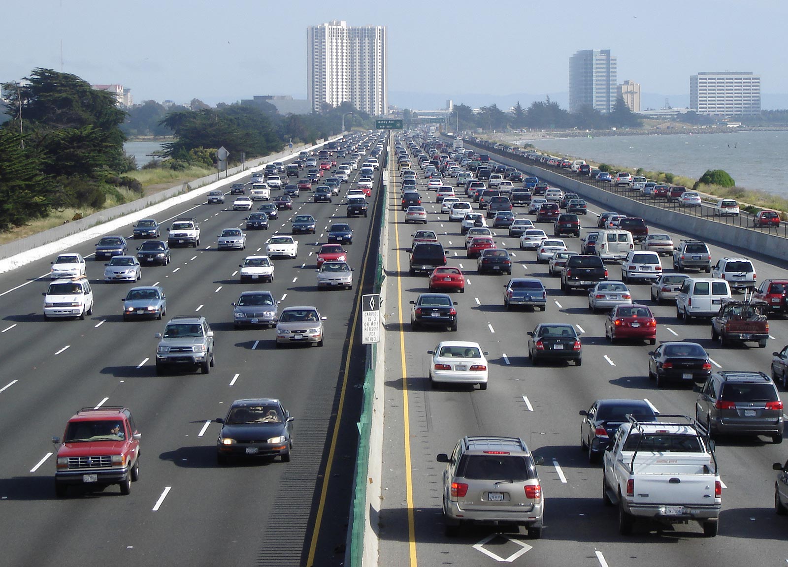
| DisgrifiadI-80 Eastshore Fwy.jpg | Looking south above en:Interstate 80, the Eastshore Freeway, near en:Berkeley, California on a Saturday afternoon. en:Emeryville, California is at the towers, en:Aquatic Park (Berkeley) is visible to the left. To the right is the east shore of the en:San Francisco Bay. Picture taken by Minesweeper on May 14, 2005. |
| Ffynhonnell | Minesweeper |
| Awdur | User Minesweeper on en.wikipedia |
| Caniatâd (Ailddefnyddio'r ffeil hon) |
Released under the GNU Free Documentation License. |
| Diwygiadau eraill |
Originally from en.wikipedia; description page is (was) here * 10:17, 15 May 2005 [[:en:User:Minesweeper|Minesweeper]] 1600×1152 (311,297 bytes) <span class="comment">(Looking south above Interstate 80, the Eastshore Freeway, near Berkeley, California on a Saturday afternoon. Picture taken by me on May 14, 2005. {{GFDL}})</span> |
| Camera location | 37° 50′ 49.6″ N, 122° 17′ 54.4″ W | View this and other nearby images on: OpenStreetMap |
|---|

|
Caniateir copïo, dosbarthu a/neu golygu'r ddogfen hon yn ôl telerau'r Drwydded Ddogfennaeth Rydd GNU, Fersiwn 1.2 neu unrhyw fersiwn diweddarach a gyhoeddwyd gan y Free Software Foundation; yn cynnwys dim Adrannau Di-syfl, dim Testunau Clawr Blaen, a dim Testunau Clawr Cefn. Cynhwysir copi o'r drwydded hon yn yr adran Trwydded Ddogfennaeth Rydd GNU".http://www.gnu.org/copyleft/fdl.htmlGFDLGNU Free Documentation Licensetruetrue |
| Trwyddedir y ffeil hon yn ôl termau'r drwydded Creative Commons Attribution-Share Alike 3.0 Unported. | ||
| ||
| Ychwangwyd y nod trwyddedu hwn wrth y ffeil hon yn ran o'r gwaith o ddiweddaru trwyddedau GFDL.http://creativecommons.org/licenses/by-sa/3.0/CC BY-SA 3.0Creative Commons Attribution-Share Alike 3.0truetrue |
(Uploaded using CommonsHelper or PushForCommons)
Captions
Add a one-line explanation of what this file represents
Items portrayed in this file
yn portreadu
tag Saesneg
coordinates of the point of view Saesneg
37°50'49.600"N, 122°17'54.398"W
Hanes y ffeil
Cliciwch ar ddyddiad / amser i weld y ffeil fel ag yr oedd bryd hynny.
| Dyddiad / Amser | Bawdlun | Hyd a lled | Defnyddiwr | Sylw | |
|---|---|---|---|---|---|
| cyfredol | 04:28, 23 Hydref 2006 | | 1,600 × 1,152 (304 KB) | Zzyzx11 | {{Information| |Description= Looking south above en:Interstate 80, the Eastshore Freeway, near en:Berkeley, California on a Saturday afternoon. Picture taken by Minesweeper on May 14, 2005. |Source= |Date= |Author=User |
Cysylltiadau'r ffeil
Mae'r 2 tudalennau a ddefnyddir isod yn cysylltu i'r ddelwedd hon:
Defnydd cydwici y ffeil
Mae'r wicis eraill hyn yn defnyddio'r ffeil hon:
- Y defnydd ar af.wikipedia.org
- Y defnydd ar als.wikipedia.org
- Y defnydd ar ar.wikipedia.org
- Y defnydd ar ar.wiktionary.org
- Y defnydd ar ast.wikipedia.org
- Y defnydd ar az.wikipedia.org
- Y defnydd ar bar.wikipedia.org
- Y defnydd ar be.wikipedia.org
- Y defnydd ar bg.wikipedia.org
- Y defnydd ar bh.wikipedia.org
- Y defnydd ar bn.wikipedia.org
- Y defnydd ar br.wikipedia.org
- Y defnydd ar bs.wikipedia.org
- Y defnydd ar ca.wikipedia.org
- Y defnydd ar cdo.wikipedia.org
- Y defnydd ar cv.wikipedia.org
- Y defnydd ar da.wikipedia.org
- Y defnydd ar de.wikipedia.org
- Y defnydd ar de.wikibooks.org
- Y defnydd ar el.wikipedia.org
- Y defnydd ar en.wikipedia.org
Gweld rhagor o'r defnydd cydwici o'r ffeil hon.