File:Avrupa_harita_1648.png
From Wikipedia, the free encyclopedia
Størrelse af denne forhåndsvisning: 800 × 577 pixels. Andre opløsninger: 320 × 231 pixels | 640 × 462 pixels | 1.024 × 739 pixels | 1.280 × 924 pixels | 1.894 × 1.367 pixels.
Fuld opløsning (1.894 × 1.367 billedpunkter, filstørrelse: 195 KB, MIME-type: image/png)
|
|
Denne fil er fra Wikimedia Commons. Beskrivelsen af filen fra Commons er gengivet nedenfor. |
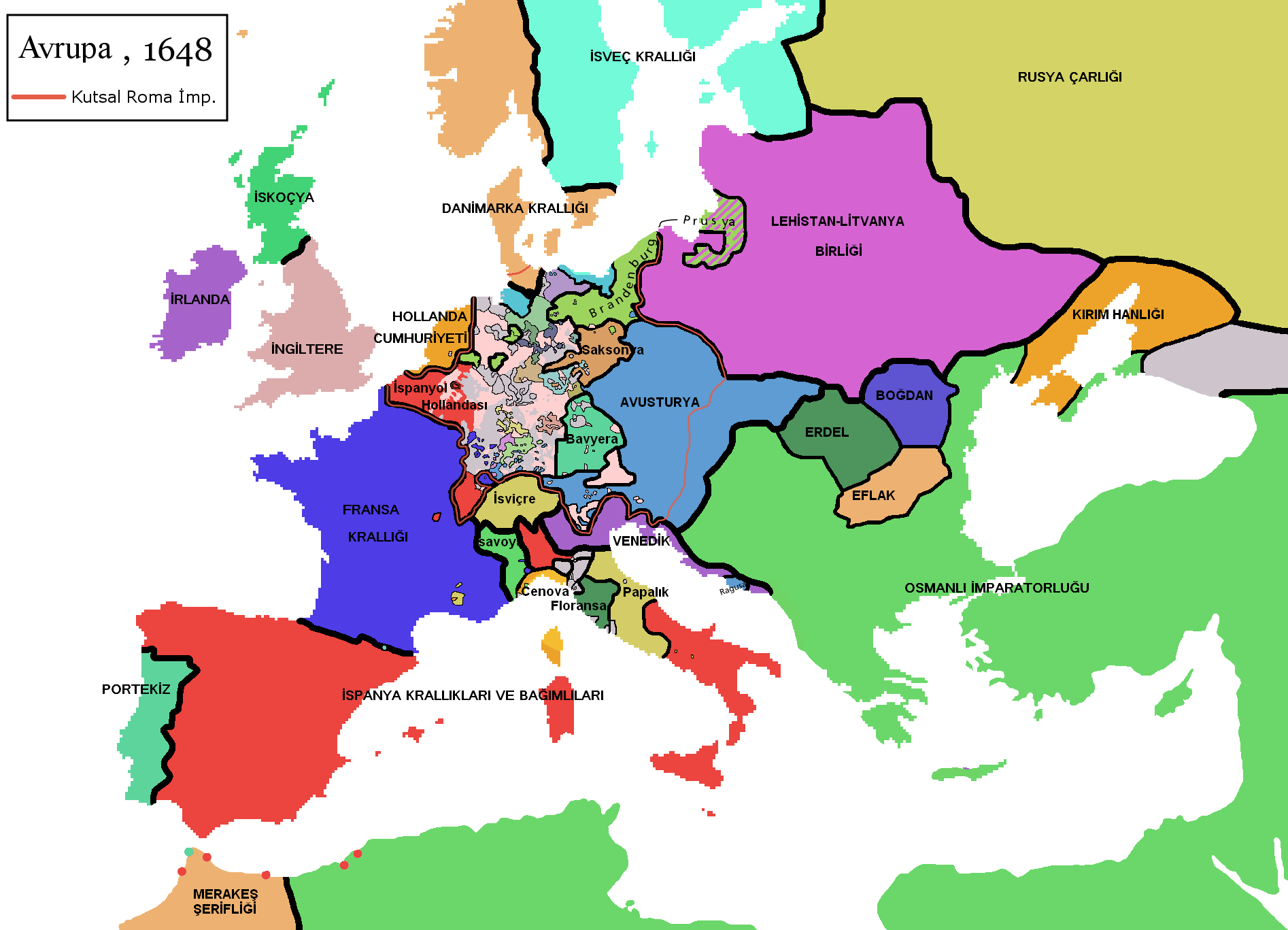
| BeskrivelseAvrupa harita 1648.png | ==Turkish version of File:Europe map 1648.PNG |
| Dato | (UTC) |
| Kilde | |
| Forfatter |
|
Jeg, dette værks ophavsretsindehaver, udgiver hermed værket under den følgende licens:
| Denne fil er udgivet under Creative Commons Kreditering-Del på samme vilkår 3.0 Ikke-porteret-licensen. | ||
| ||
| Denne licens blev tilføjet som en del af GFDL-licensopdateringen.http://creativecommons.org/licenses/by-sa/3.0/CC BY-SA 3.0Creative Commons Attribution-Share Alike 3.0truetrue |

|
Tilladelse er givet til at kopiere, distribuere og/eller ændre dette dokument under betingelserne i GNU Free Documentation License', Version 1.2 eller enhver senere version udgivet af Free Software Foundation; uden et invariant afsnit, ingen forsidetekster, og ingen bagsidetekst. En kopi af licensen er inkluderet i afsnittet GNU Free Documentation License.http://www.gnu.org/copyleft/fdl.htmlGFDLGNU Free Documentation Licensetruetrue |
Du kan vælge den licens du foretrækker.
Oprindelig oplægningslog
This image is a derivative work of the following images:
- File:Europe_map_1648.PNG licensed with Cc-by-sa-3.0-migrated, GFDL
- 2008-12-12T02:13:45Z Mathiasrex 1894x1367 (197990 Bytes) In 1648 Duchy of Prussia was yet a fief of the Polish Crown
- 2008-11-04T22:12:11Z Beliar 1894x1367 (197454 Bytes) Holstein was part of the HRE but was ruled by the danish king in personal union as the duce of H.
- 2007-10-24T07:09:47Z Conscious 1894x1367 (186157 Bytes) "Tsardom of Russia" instead of "Russian Empire" (this is a pre-1721 map)
- 2007-01-10T05:47:14Z Roke 1894x1367 (186110 Bytes) more detail HRE, fixes
- 2006-06-08T00:10:58Z Roke 1894x1367 (186146 Bytes) change to polish-lithuanian commonwealth after comment on en
- 2006-05-09T09:08:45Z Roke 1894x1367 (184339 Bytes) cropped right version
- 2006-05-08T13:12:58Z Roke 1894x1374 (111881 Bytes) minor crop
- 2006-05-05T05:12:47Z Roke 1900x1378 (185935 Bytes) Map of Europe in 1648 (at the end of the [[w:Thirty Years War|Thirty Years War]], based on free map of europe [[:Image:BlankMap-Europe.png]] {{Europe}} [[Category:Historical maps of Europe]]
Uploaded with derivativeFX
Captions
Tilføj en kort forklaring på en enkelt linje om hvad filen viser
Elementer som er med i denne fil
afbilder
image/png
d8f33627e7aacf635510ffb0acdbebc5cd91f0c7
199.927 Byte
1.367 pixel
1.894 pixel
Filhistorik
Klik på en dato/tid for at se filen som den så ud på det tidspunkt.
| Dato/tid | Miniaturebillede | Dimensioner | Bruger | Kommentar | |
|---|---|---|---|---|---|
| nuværende | 23. feb. 2010, 00:16 | | 1.894 × 1.367 (195 KB) | Vikiyazar | {{Information |Description===Turkish version of File:Europe map 1648.PNG |Source=*File:Europe_map_1648.PNG |Date=2010-02-22 22:15 (UTC) |Author=*File:Europe_map_1648.PNG: User:Vikiyazar *derivative work: ~~~ |Permission=see below |other_ve |
Filanvendelse
Der er ingen sider der bruger denne fil.
Global filanvendelse
Følgende andre wikier anvender denne fil:
- Anvendelser på ar.wikipedia.org
- Anvendelser på tr.wikipedia.org