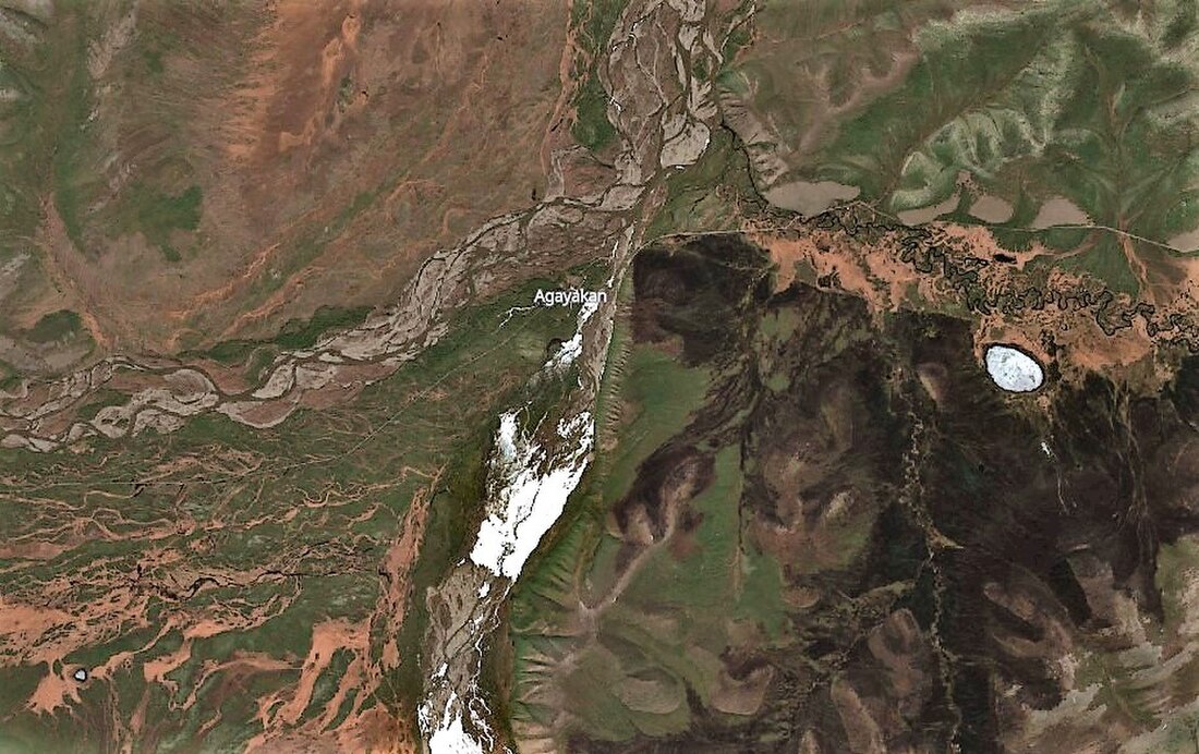
Agayakan (village)
Selo in Sakha Republic, Russia From Wikipedia, the free encyclopedia
Agayakan (Russian: Агаякан; Yakut: Агайакаан, Agayakaan) is an abandoned village, which used to be a rural locality (a selo). It was one of four settlements in Second Borogonsky Rural Okrug of Oymyakonsky District in the Sakha Republic, Russia, in addition to Tomtor, the administrative center of the Rural Okrug, Aeroport and Kuydusun. Its population as of the 2002 Census was 0.[1]
Agayakan
Агаякан | |
|---|---|
 | |
| Coordinates: 63°20′05″N 141°38′38″E | |
| Country | Russia |
| Federal subject | Sakha Republic[1] |
| Administrative district | Oymyakonsky District[1] |
| Rural okrug | Second Borogonsky Rural Okrug[1] |
| Population | |
| • Estimate (2002)[1] | 0 |
| • Municipal district | Oymyakonsky Municipal District[2] |
| • Rural settlement | Second Borogonsky Rural Settlement[2] |
| Time zone | UTC+10 (MSK+7 |
| Postal code(s)[4] | |
| OKTMO ID | 98639410106 |
Geography
Agayakan is located 660 kilometers (410 mi) from Ust-Nera, the administrative center of the district and 90 kilometers (56 mi) from Tomtor. The deserted village is located close to the confluence of the Agayakan and Suntar rivers, which form the Kyuyente, a tributary of the Indigirka.[5][6] The minimum temperature of -57.0 °C (-70.6 °F)[7] was recorded on December 5, 2023, in Agayakan.
References
Wikiwand in your browser!
Seamless Wikipedia browsing. On steroids.
Every time you click a link to Wikipedia, Wiktionary or Wikiquote in your browser's search results, it will show the modern Wikiwand interface.
Wikiwand extension is a five stars, simple, with minimum permission required to keep your browsing private, safe and transparent.


